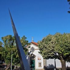
Tondela, Municipality and city in Viseu, Portugal
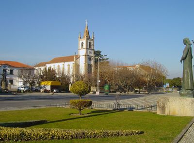
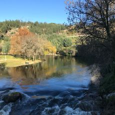
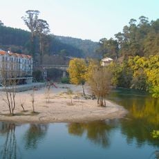
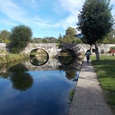
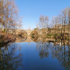
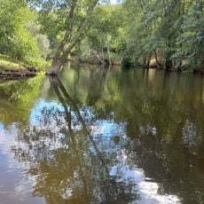
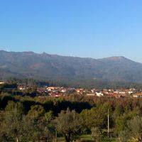
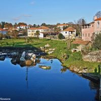
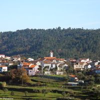
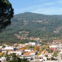
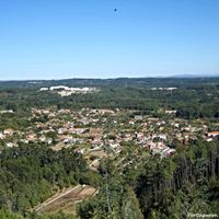
Tondela is a municipality and city in the Viseu region of Portugal, located at the foot of the Serra do Caramulo mountain range. The area is crossed by the Dão and Águeda rivers and divided into 19 parishes connected by roads.
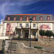
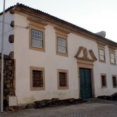
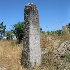
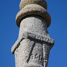
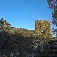
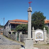
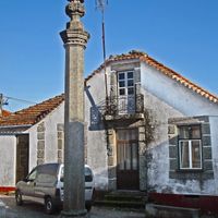
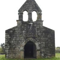
This municipality was established in 1515, growing from an ancient settlement that went through significant changes during Roman occupation and the Reconquista period. These historical events shaped how the region developed over time.
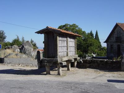
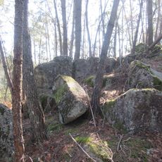
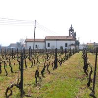
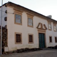
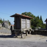
Wine-making traditions shape the local identity here, with vineyards scattered across rolling terrain as part of the Dão wine region. Visitors notice old mills and houses throughout the area that show how people lived and worked for generations.
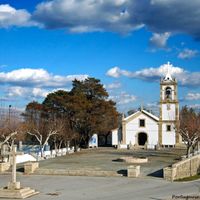
The area is best explored by driving along the roads that connect the different parishes and allow you to see the varied landscape. The nearest major cities are Porto and Lisbon, each a few hours' drive away.
Sangemil thermal springs in the Lajeosa do Dão parish have mineral-rich waters that people have used for healing treatments since ancient times. These natural waters draw visitors interested in experiencing their therapeutic qualities.
Location: Viseu
Location: Viseu Dão Lafões Subregion
Inception: January 1, 1515
Shares border with: Oliveira de Frades, Vouzela, Viseu, Carregal do Sal, Santa Comba Dão, Mortágua, Águeda
Website: https://cm-tondela.pt
GPS coordinates: 40.51667,-8.08333
Latest update: December 19, 2025 23:39
Estádio João Cardoso
521 m
Caramulo museum
9.5 km
Casa do Passal
10.4 km
Anta da Arca
15 km
Torre de Alcofra
15.9 km
Anta da Arquinha da Moura
6.7 km
Praia fluvial de Sangemil
9.9 km
Capela de Nossa Senhora do Campo
6.2 km
Paço de Molelos
2.1 kmCasa da Oliveirinha
12.1 km
Termas de Sangemil
10 kmCasa dos Melos
3.3 kmEstação de arte rupestre de Molelinhos
4.4 km
Praia Fluvial de São João do Monte
15.7 km
Estela Menir da Caparrosa
13 km
Castro de Nandufe
3.3 km
Praia Fluvial de Ferreirós do Dão
6.9 km
Praia Fluvial da Várzea do Homem
5.3 kmNovo Ciclo - Centro de Recursos Culturais e de Desenvolvimento do Concelho de Tondela
551 m
Fachada da Igreja Velha de Santa Maria de Canas de Sabugosa
5.9 kmTroço de Calçada Romana em Paranho de Besteiros
10.7 kmConjunto de quatro lagares cavados na rocha
13 kmLagar do Fial
3.9 kmSolar de Tomás Ribeiro
10.4 km
Pelourinho de Sabugosa
7.7 km
Penedo dos Mouros
10.9 kmPelourinho de Tondela
343 mTroço de Calçada Romana de Guardão
8.9 kmVisited this place? Tap the stars to rate it and share your experience / photos with the community! Try now! You can cancel it anytime.
Caparrosa e Silvares
Barreiro de Besteiros e Tourigo
São João do Monte e Mosteirinho
Mouraz e Vila Nova da Rainha
Tondela e Nandufe
Vilar de Besteiros e Mosteiro de Fráguas
São Miguel do Outeiro e Sabugosa
Tonda
Dardavaz
Lobão da Beira
Molelos
Ferreirós do Dão
Canas de Santa Maria
Parada de Gonta
Castelões
Campo de Besteiros
Guardão
Santiago de Besteiros
Lajeosa do Dão
Discover hidden gems everywhere you go!
From secret cafés to breathtaking viewpoints, skip the crowded tourist spots and find places that match your style. Our app makes it easy with voice search, smart filtering, route optimization, and insider tips from travelers worldwide. Download now for the complete mobile experience.
A unique approach to discovering new places❞
— Le Figaro
All the places worth exploring❞
— France Info
A tailor-made excursion in just a few clicks❞
— 20 Minutes