Enable Location

We need your location to show you interesting places around you

Discover nearby places

Find interesting locations and hidden gems around you

Precise directions

Get accurate directions and distances to places

Your location is never shared with other users. It's only used when you tap the location button.

Donskoy

Log in to your account

Start exploring — it's free

Trusted by 62,299 travelers worldwide

Continue with Google
Continue with Apple
or

We will send you a code to connect

By continuing, you accept our Terms and Conditions and our Privacy Policy

Check your inbox

We've sent a pincode in your inbox. Please enter the code below.

Donskoy, Administrative entity in Tula Oblast, Russia

Donskoy is a city in Tula Oblast covering around 48 square kilometers at an elevation of about 210 meters, situated roughly 65 kilometers southeast of Tula. The town encompasses several urban settlements across its territory.

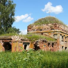
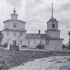
The settlement began in 1773 as Bobriki, named after the Bobrik River, and gained city status in 1939 following the discovery of lignite deposits. A merger with Severo-Zadonsk in 2005 significantly expanded its territory.

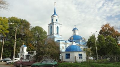
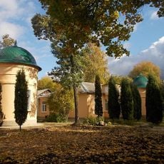
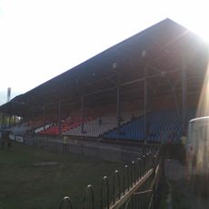
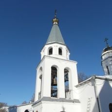
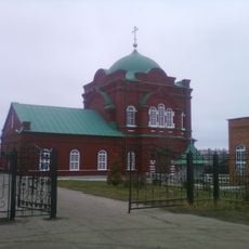
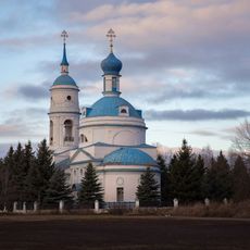
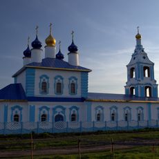
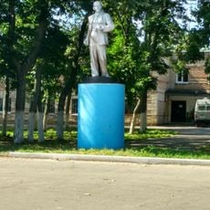
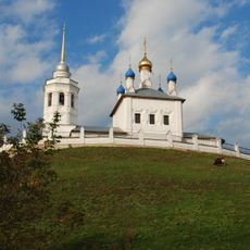
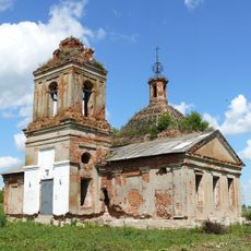
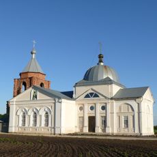
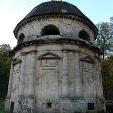
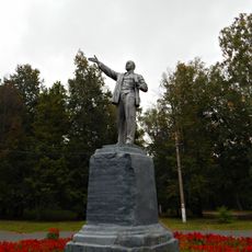
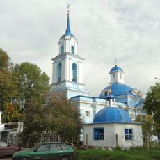
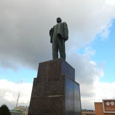
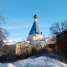
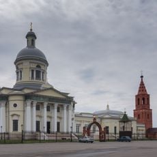
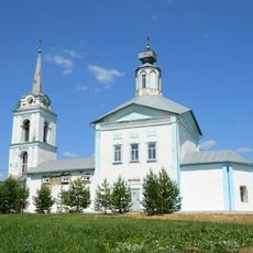
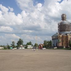
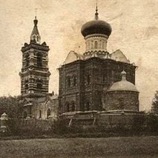
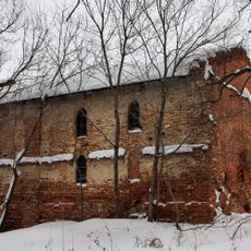
The Khvostov Mansion and Bobrik Estate display architecture from different periods, while Komsomolsky Park serves as a main gathering place for local recreation. These sites give the town its character and offer glimpses into how residents spend their leisure time.

The city is well connected by regular bus routes that serve different neighborhoods and make it easy to explore on foot or by public transit. Plan for varied weather conditions and wear suitable clothing for getting around.

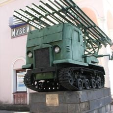
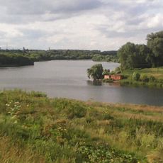
The city's name comes from a river, but the original village became well-known for natural resources that sparked growth in the early 1900s. These industrial roots continue to shape the character of the place today.

The community of curious travelers

AroundUs brings together thousands of curated places, local tips, and hidden gems, enriched daily by 60,000 contributors worldwide.

Start exploring
Location
Inception
1773
Elevation above the sea
210 m
GPS coordinates
53.96667,38.31667
Latest update
December 20, 2025 11:58
Around this place
Bobriki-Spasskoe
Russian Federation

Bobriki-Spasskoe

4.2 km
Монумент Вечной славы
Russian Federation

Монумент Вечной славы

5 km
Новомосковский историко-художественный музей
Russian Federation

Новомосковский историко-художественный музей

5.3 km
Химик
Russian Federation

Химик

5.4 km
Assumption Monastery
Russian Federation

Assumption Monastery

5.8 km
Holy Trinity church
Russian Federation

Holy Trinity church

11.8 km
Спасская церковь (Спасское)
Russian Federation

Спасская церковь (Спасское)

16.2 km
Church of the Intercession (Pokrovskoe, Kimovsky District)
Russian Federation

Church of the Intercession (Pokrovskoe, Kimovsky District)

19.9 km
Church of the Protection of the Theotokos, Kozlovo
Russian Federation

Church of the Protection of the Theotokos, Kozlovo

19 km
Храм Дмитрия Солунского (Епифань)
Russian Federation

Храм Дмитрия Солунского (Епифань)

21.8 km
Памятник В.И. Ленину (Епифань)
Russian Federation

Памятник В.И. Ленину (Епифань)

21.9 km
Church of the Dormition (Yepifan)
Russian Federation

Church of the Dormition (Yepifan)

21.7 km
Церковь Рождества Христова (Люторичи)
Russian Federation

Церковь Рождества Христова (Люторичи)

11.3 km
Церковь Архангела Михаила (Волково)
Russian Federation

Церковь Архангела Михаила (Волково)

14.1 km
Никольская церковь (Орловка)
Russian Federation

Никольская церковь (Орловка)

23.4 km
Bobrinsky burial vault
Russian Federation

Bobrinsky burial vault

4.3 km
Памятник В.И. Ленину (Новомосковск)
Russian Federation

Памятник В.И. Ленину (Новомосковск)

5.5 km
Transfiguration church, Donskoy
Russian Federation

Transfiguration church, Donskoy

4.3 km
Statue of Lenin in Novomoskovsk
Russian Federation

Statue of Lenin in Novomoskovsk

14.9 km
Церковь Успения Пресвятой Богородицы (Узловая)
Russian Federation

Церковь Успения Пресвятой Богородицы (Узловая)

10.1 km
Church of Saint Nicholas
Russian Federation

Church of Saint Nicholas

22 km
Церковь Казанской иконы Божией Матери (Иваньково)
Russian Federation

Церковь Казанской иконы Божией Матери (Иваньково)

10.9 km
Красная площадь (Епифань)
Russian Federation

Красная площадь (Епифань)

21.9 km
Водонапорная башня (Кимовск)
Russian Federation

Водонапорная башня (Кимовск)

13.9 km
Церковь Иверской иконы Божией Матери (Карачево (Карачаево))
Russian Federation

Церковь Иверской иконы Божией Матери (Карачево (Карачаево))

15.2 km
Корпус производственный северный (Богородицк)
Russian Federation

Корпус производственный северный (Богородицк)

23.4 km
Mass Grave of World War II Soldiers in Urvanka, Novomoskovsky District
Russian Federation

Mass Grave of World War II Soldiers in Urvanka, Novomoskovsky District

7.2 km
Lyubovka Reservoir
Russian Federation

Lyubovka Reservoir

12.3 km
Show the full map
« Donskoy - Administrative entity in Tula Oblast, Russia » is provided by Around Us (aroundus.com). Images and texts are derived from Wikimedia project under a Creative Commons license. You are allowed to copy, distribute, and modify copies of this page, under the conditions set by the license, as long as this note is clearly visible.

Discover hidden gems everywhere you go!

From secret cafés to breathtaking viewpoints, skip the crowded tourist spots and find places that match your style. Our app makes it easy with voice search, smart filtering, route optimization, and insider tips from travelers worldwide. Download now for the complete mobile experience.

Around Us App Screenshot

A unique approach to discovering new places

Le Figaro

All the places worth exploring

France Info

A tailor-made excursion in just a few clicks

20 Minutes

Around Us
Travel Guide & Maps
Download

Send to your phone

QR Code
1

Open the camera app on your mobile.

2

Point at the QR code with your camera. A notification will appear.

3

Tap the notification to open the link.