Enable Location

We need your location to show you interesting places around you

Discover nearby places

Find interesting locations and hidden gems around you

Precise directions

Get accurate directions and distances to places

Your location is never shared with other users. It's only used when you tap the location button.

Dorogobuzh

Log in to your account

Start exploring — it's free

Trusted by 62,342 travelers worldwide

Continue with Google
Continue with Apple
or

We will send you a code to connect

By continuing, you accept our Terms and Conditions and our Privacy Policy

Check your inbox

We've sent a pincode in your inbox. Please enter the code below.

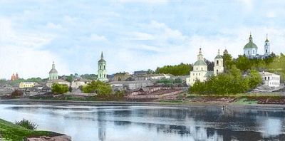
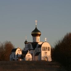
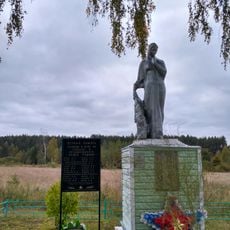
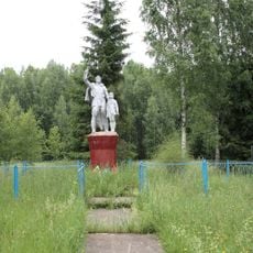
Dorogobuzh, Administrative center in Smolensk Oblast, Russia

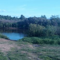
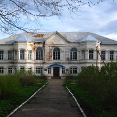
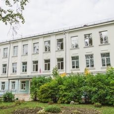
Dorogobuzh is a town situated along the Dnieper River in Smolensk Oblast. It spans both riverbanks and combines residential neighborhoods, commercial zones, and industrial areas that serve the wider region.

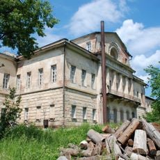
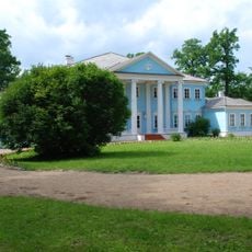
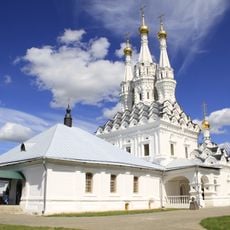
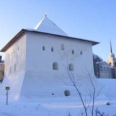
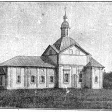
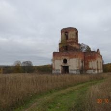
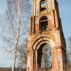
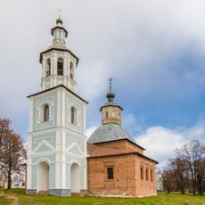
The town was founded around 1150 as a defensive fortress and changed hands between Lithuanian and Russian rulers over centuries. It became permanently part of the Russian state in 1667 and later grew into a major trade center.

The town serves as a regional hub where locals gather for trade and commerce. People use the central areas to meet, conduct business, and participate in seasonal market activities that connect the surrounding communities.

The town is best explored on foot, with the riverbank areas offering pleasant walking paths. Visitors should note that industrial zones are separate from residential areas and are not designed for casual visits.

The town hosted major annual markets where traders from across the region bought and sold grain, horses, and livestock for centuries. These market traditions shaped the local economy and made the place a regional trading hub that people traveled to seasonally.

The community of curious travelers

AroundUs brings together thousands of curated places, local tips, and hidden gems, enriched daily by 60,000 contributors worldwide.

Start exploring
Elevation above the sea
210 m
GPS coordinates
54.92000,33.30778
Latest update
December 19, 2025 22:08
Around this place
Russian Federation

Smolensk–Moscow Upland

61.1 km
Khmelita
Russian Federation

Khmelita

65.5 km
Troitse-Boldin Monastery
Russian Federation

Troitse-Boldin Monastery

13.7 km
Solovyovo crossing
Russian Federation

Solovyovo crossing

37.7 km
Aleksino
Russian Federation

Aleksino

16.5 km
Farmhouse "Novospasskoe"
Russian Federation

Farmhouse "Novospasskoe"

61.8 km
Church of Hodegetria
Russian Federation

Church of Hodegetria

69.3 km
Spasskaya Tower
Russian Federation

Spasskaya Tower

70.9 km
Ioanno-Predtechensky Monastery
Russian Federation

Ioanno-Predtechensky Monastery

69.3 km
Holy Trinity Church
Russian Federation

Holy Trinity Church

70.4 km
1941 yil oktyabr oyida vafot etgan Moskva xalq militsiyasining 13-Rostokinskaya diviziya qahramonlariga
Russian Federation

1941 yil oktyabr oyida vafot etgan Moskva xalq militsiyasining 13-Rostokinskaya diviziya qahramonlariga

65.5 km
Tyushino Estate, Smolensk Oblast
Russian Federation

Tyushino Estate, Smolensk Oblast

55.8 km
Russian Federation

Дорогобужский Вал

1.1 km
Сафоновский историко-краеведческий музей
Russian Federation

Сафоновский историко-краеведческий музей

21.8 km
Bizukov Monastery
Russian Federation

Bizukov Monastery

10.8 km
Церковь Рождества Пресвятой Богородицы (Боровщина)
Russian Federation

Церковь Рождества Пресвятой Богородицы (Боровщина)

53.4 km
Church of the Dormition of the Theotokos
Russian Federation

Church of the Dormition of the Theotokos

53.8 km
Храм Казанской иконы Божией Матери (Хмелита)
Russian Federation

Храм Казанской иконы Божией Матери (Хмелита)

65.4 km
Arkadevsky Monastery
Russian Federation

Arkadevsky Monastery

70.6 km
War memorial, Chepchugovo
Russian Federation

War memorial, Chepchugovo

58.6 km
Spaso-Bogoroditsky Odigitrievsky Monastery
Russian Federation

Spaso-Bogoroditsky Odigitrievsky Monastery

66.5 km
Братская могила (Пятницкое)
Russian Federation

Братская могила (Пятницкое)

63.8 km
Братская могила советских воинов, павших в боях за Родину во время Великой Отечественной войны 1941-1945 гг. (Гнездилово)
Russian Federation

Братская могила советских воинов, павших в боях за Родину во время Великой Отечественной войны 1941-1945 гг. (Гнездилово)

53.8 km
Церковь Успения Пресвятой Богородицы (Гнездилово)
Russian Federation

Церковь Успения Пресвятой Богородицы (Гнездилово)

53.5 km
Братская могила (Снопот)
Russian Federation

Братская могила (Снопот)

69.3 km
Братская могила (Красный Активист)
Russian Federation

Братская могила (Красный Активист)

70.7 km
Воинское кладбище (Нестеры)
Russian Federation

Воинское кладбище (Нестеры)

60.2 km
Safonovo School 1
Russian Federation

Safonovo School 1

22.2 km
Show the full map
« Dorogobuzh - Administrative center in Smolensk Oblast, Russia » is provided by Around Us (aroundus.com). Images and texts are derived from Wikimedia project under a Creative Commons license. You are allowed to copy, distribute, and modify copies of this page, under the conditions set by the license, as long as this note is clearly visible.

Discover hidden gems everywhere you go!

From secret cafés to breathtaking viewpoints, skip the crowded tourist spots and find places that match your style. Our app makes it easy with voice search, smart filtering, route optimization, and insider tips from travelers worldwide. Download now for the complete mobile experience.

Around Us App Screenshot

A unique approach to discovering new places

Le Figaro

All the places worth exploring

France Info

A tailor-made excursion in just a few clicks

20 Minutes

Around Us
Travel Guide & Maps
Download

Send to your phone

QR Code
1

Open the camera app on your mobile.

2

Point at the QR code with your camera. A notification will appear.

3

Tap the notification to open the link.