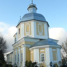
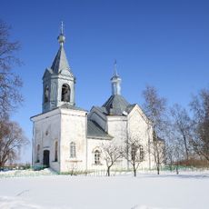
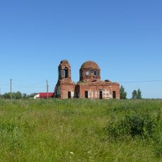
Ilmen, Freshwater lake in Novgorod Oblast, Russia.
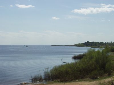
Ilmen is a freshwater body in the center of the Novgorod lowlands, receiving water from roughly fifty rivers. The main tributaries include Msta, Pola, Lovat, Psizha and Shelon, which drain from the surrounding hills into the basin.
The water stood under German occupation between 1941 and 1944 during World War Two. Soviet troops liberated the region after three years of heavy fighting along the shores and access routes.
The name comes from Finnic words meaning air lake, chosen by early settlers to describe the wide, open water surface. Russian explorers later adopted this term and used it as a pattern for naming other lakes across the country.
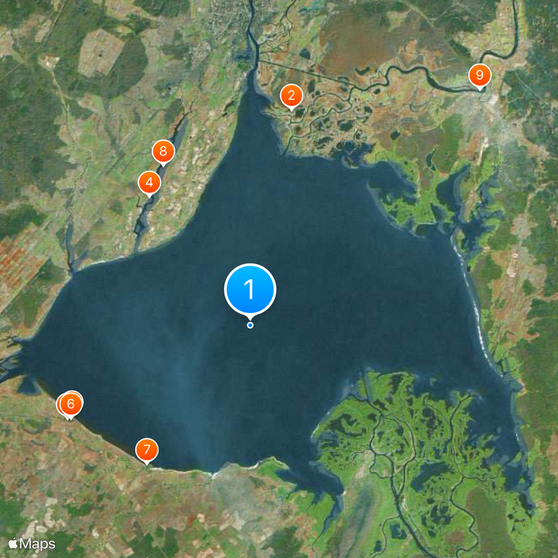
Passenger boats run during summer for roughly ninety days on routes between Veliky Novgorod, Staraya Russa and Shimsk. Navigation depends on water level, which changes with rainfall and snowmelt in spring.
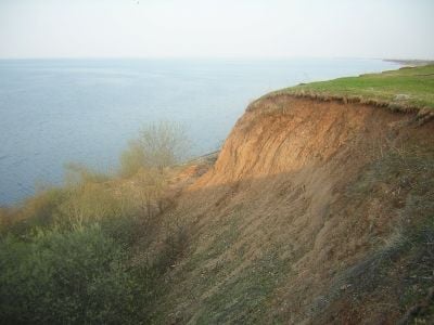
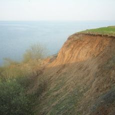
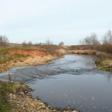
The surface shifts between 733 and 2,090 square kilometers (283 and 807 square miles) depending on inflow, meaning the shoreline sometimes moves several kilometers. This change creates temporary islands and wide shallow zones that vanish during wet years or appear in dry months.
Location: Novgorod Oblast
Elevation above the sea: 18 m
GPS coordinates: 58.26667,31.28333
Latest update: December 13, 2025 16:43
Saint Nicholas Church on Lipno Island
20.6 km
Ilmen glint
18.8 km
Klopsky monastery
15.4 km
Travel Palace, Korostyn
19.3 km
Church of the Dormition of the Theotokos
19 km
Psizha
16.3 kmГеоргий
17.2 km
Bronnitsa bridge
30.9 kmКорпус настоятельский (руины) (Сельцо)
15.4 kmБратское кладбище советских воинов, погибших в борьбе с фашистами (Чайка)
22.1 km
Transfiguration church (Bronnitsa)
30.8 km
Братская могила солдат и офицеров Советской армии, погибших в феврале 1944 года в боях с немецко-фашистскими захватчиками (Борки)
20.4 kmУсадьба (Дубровка (Борковское с/п))
15.3 kmПарк (17.5 га) (Фарафоново)
22 kmБратское кладбище советских воинов, погибших в борьбе с фашистами (Пролетарий)
30.8 km
Церковь Успения (Курицко)
11.7 km
Lazarus church, Sergovo
13.6 km
Zaveryazhye estate
20.4 km
Saint Basil's Church (Vasilyevskoye, Novgorodsky District)
16.2 kmПарк усадьбы Кузнецова пейзажной планировки (2,9 га) (Пролетарий)
30.4 kmСад (Сельцо)
15.4 km
Дворец (Коростынь)
19.3 kmТрапезная (остатки) (Сковородка (бывш.))
20.6 km
Staroye Rakomo church
20.1 kmЖилой дом (Гостцы)
25.3 kmБратская могила советских воинов, погибших в борьбе с фашистами (Веряжа)
20.3 km
Трапезная с церковью святителя Николая (Сельцо)
15.4 km
Stone barn, Korostyn
19.3 kmVisited this place? Tap the stars to rate it and share your experience / photos with the community! Try now! You can cancel it anytime.
Discover hidden gems everywhere you go!
From secret cafés to breathtaking viewpoints, skip the crowded tourist spots and find places that match your style. Our app makes it easy with voice search, smart filtering, route optimization, and insider tips from travelers worldwide. Download now for the complete mobile experience.
A unique approach to discovering new places❞
— Le Figaro
All the places worth exploring❞
— France Info
A tailor-made excursion in just a few clicks❞
— 20 Minutes