Enable Location

We need your location to show you interesting places around you

Discover nearby places

Find interesting locations and hidden gems around you

Precise directions

Get accurate directions and distances to places

Your location is never shared with other users. It's only used when you tap the location button.

Barguzinsky District

Log in to your account

Start exploring — it's free

Trusted by 61,584 travelers worldwide

Continue with Google
Continue with Apple
or

We will send you a code to connect

By continuing, you accept our Terms and Conditions and our Privacy Policy

Check your inbox

We've sent a pincode in your inbox. Please enter the code below.

Barguzinsky District

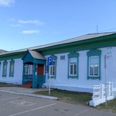
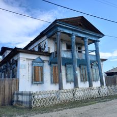
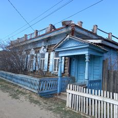
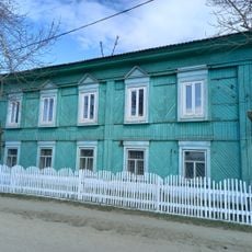
Barguzinsky District, Municipal district in northeastern Buryatia, Russia.

Description

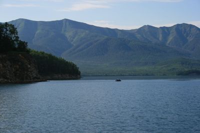
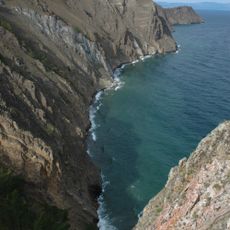
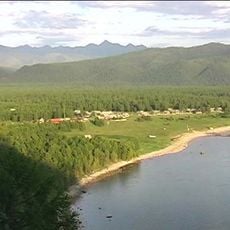
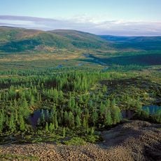
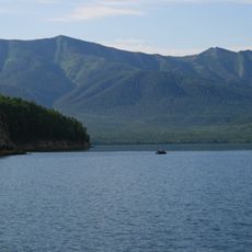
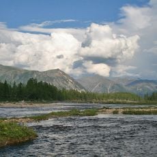
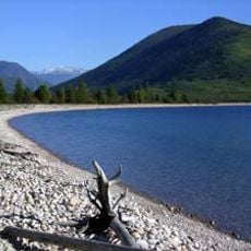
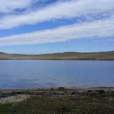
Barguzinsky District is a municipal territory in the Barguzin Valley in northeastern Buryatia covering a large area of varied terrain. Mountain ranges rise between 2,000 and 2,700 meters, and the landscape shifts between forests, meadow steppe, and wetlands along the Barguzin River and its waterways.

History

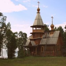
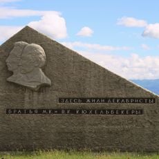
The district was established as an administrative entity on December 23, 1923, during a period when Soviet territories were reorganized into new structures. It developed thereafter as a rural administrative area shaped by both Russian settlement and Buryat presence.

Culture

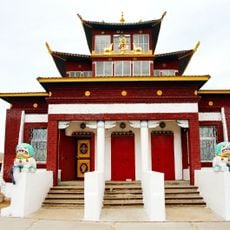
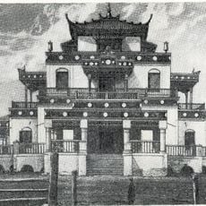
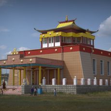
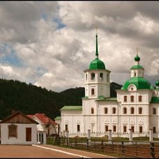
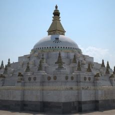
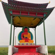
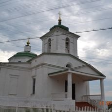
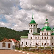
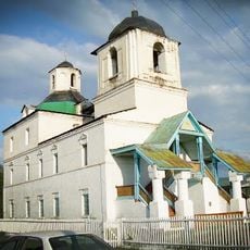
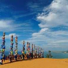
The district reflects the traditions of Russian settlers and Buryat communities through local festivals, traditional crafts, and farming practices that shape daily life in its villages. These cultural expressions remain woven into how people celebrate seasons and use the land around them.

Practical

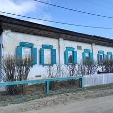
The district comprises thirty-three rural settlements connected by regional transportation routes, making it accessible by established networks. Visitors should be aware this is a sparsely populated area with limited tourist facilities, so planning ahead is important.

Did you know?

The forests here contain abundant wild berries, mushrooms, and nuts that play an important role in the local economy and food culture. These forest resources attract gatherers throughout the year and remain central to how people sustain themselves.

Location
Inception
December 23, 1923
Capital city
Barguzin
Elevation above the sea
1,515 m
GPS coordinates
53.61667,109.61667
Latest update
December 10, 2025 15:52

AroundUs brings together thousands of curated places, local tips, and hidden gems, enriched daily by 60,000 contributors worldwide. Discover all places nearby (Buryatia).

Around this place
Lake Baikal
Russian Federation

Lake Baikal

112.4 km
Barguzin Nature Reserve
Russian Federation

Barguzin Nature Reserve

65.8 km
Baikal-Lena nature reserve
Russian Federation

Baikal-Lena nature reserve

131.8 km
Zabaykalsky
Russian Federation

Zabaykalsky

28.6 km
Russian Federation

Multilayer settlement "Sunny Mys"

163.2 km
At͡sagatskiĭ dat͡san
Russian Federation

At͡sagatskiĭ dat͡san

200.8 km
Dzherginsky Nature Reserve
Russian Federation

Dzherginsky Nature Reserve

205.1 km
Aninsky datsan
Russian Federation

Aninsky datsan

150.5 km
Egituysky datsan
Russian Federation

Egituysky datsan

150.7 km
Sretensky Convent
Russian Federation

Sretensky Convent

185.2 km
Джарун Хашор
Russian Federation

Джарун Хашор

199.8 km
Arangatuy
Russian Federation

Arangatuy

36.5 km
Frolikha Adventure Coastline Track
Russian Federation

Frolikha Adventure Coastline Track

194.7 km
Кіжингинський дацан
Russian Federation

Кіжингинський дацан

202.2 km
Hanhoi
Russian Federation

Hanhoi

170.5 km
Ice cave on Olkhon island
Russian Federation

Ice cave on Olkhon island

147.8 km
Svetlaya Polyana
Russian Federation

Svetlaya Polyana

68.7 km
Спасо-Преображенская церковь (Баргузин)
Russian Federation

Спасо-Преображенская церковь (Баргузин)

1.7 km
Сретенская церковь
Russian Federation

Сретенская церковь

185.2 km
Nativity of Christ Church
Russian Federation

Nativity of Christ Church

16.7 km
Дом Бутлицкого (Баргузин)
Russian Federation

Дом Бутлицкого (Баргузин)

1.4 km
Торговое здание купца Лозовского (Баргузин)
Russian Federation

Торговое здание купца Лозовского (Баргузин)

1.5 km
Здание банка (Баргузин)
Russian Federation

Здание банка (Баргузин)

1.5 km
Дом Сиротина (Баргузин)
Russian Federation

Дом Сиротина (Баргузин)

1.3 km
Дом, в котором жил в ссылке большевик К. Грабовский (Баргузин)
Russian Federation

Дом, в котором жил в ссылке большевик К. Грабовский (Баргузин)

1.4 km
Cape Burkhan
Russian Federation

Cape Burkhan

158 km
Памятник в честь пребывания в Баргузине декабристов братьев В.К. и М.К. Кюхельбекеров (Баргузин)
Russian Federation

Памятник в честь пребывания в Баргузине декабристов братьев В.К. и М.К. Кюхельбекеров (Баргузин)

1.3 km
Торговая лавка купца Сиротина (Баргузин)
Russian Federation

Торговая лавка купца Сиротина (Баргузин)

1.3 km
Show the full map
« Barguzinsky District - Municipal district in northeastern Buryatia, Russia » is provided by Around Us (aroundus.com). Images and texts are derived from Wikimedia project under a Creative Commons license. You are allowed to copy, distribute, and modify copies of this page, under the conditions set by the license, as long as this note is clearly visible.

Discover hidden gems everywhere you go!

From secret cafés to breathtaking viewpoints, skip the crowded tourist spots and find places that match your style. Our app makes it easy with voice search, smart filtering, route optimization, and insider tips from travelers worldwide. Download now for the complete mobile experience.

Around Us App Screenshot

A unique approach to discovering new places

Le Figaro

All the places worth exploring

France Info

A tailor-made excursion in just a few clicks

20 Minutes

Around Us
Travel Guide & Maps
Download

Send to your phone

QR Code
1

Open the camera app on your mobile.

2

Point at the QR code with your camera. A notification will appear.

3

Tap the notification to open the link.