Beryozovo

Log in to your account

AroundUs is a community-driven map of interesting places, built by curious explorers like you. It grows with every review, story, and photo you share.
Connect to save your favorite spots, contribute locations, and create personalized routes.
Continue with Google
Continue with Apple
Continue with X
Continue with Facebook
Continue with email
By continuing, you accept our Terms and Conditions and our Privacy Policy
Create an account
Add to collection
Map
Suggest a change
Share

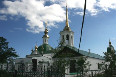
Beryozovo, Urban settlement in Beryozovsky District, Khanty-Mansi Autonomous Okrug, Russia

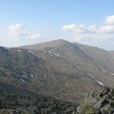
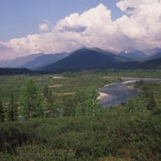
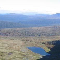
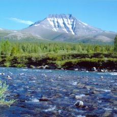
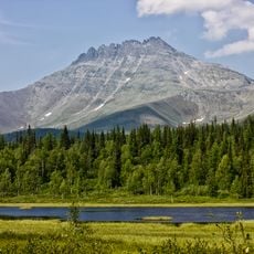
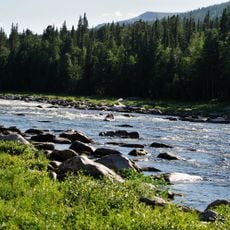
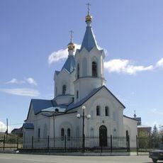
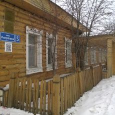
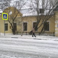
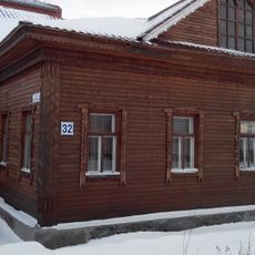
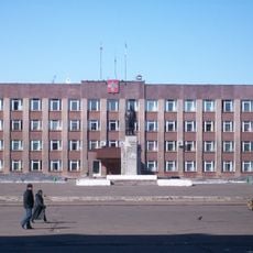
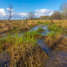
Beryozovo is an urban settlement in the Khanty-Mansi Autonomous Okrug in northern Russia, situated within a region of extensive forests and river systems. The settlement functions as a local administrative hub with standard infrastructure including housing, schools, and municipal services.

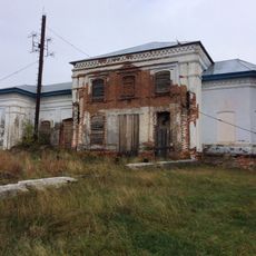
The settlement was established in 1593 as a trading post for fur commerce and resource extraction in Siberia's frontier regions at that time. Over centuries, it evolved into a permanent administrative center serving the surrounding territories.

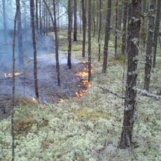
The settlement's name comes from the Russian word for birch, reflecting the trees that dominate the local landscape and regional identity. People here have adapted their daily routines and traditions to the rhythm of the seasons and the harsh northern environment.

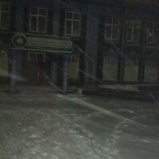
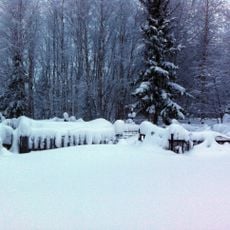
The settlement is most accessible during warmer months, as winters are extremely cold and snowy with limited daylight from October to March. Visitors should prepare for harsh weather conditions and plan travel well in advance due to the remote northern location.

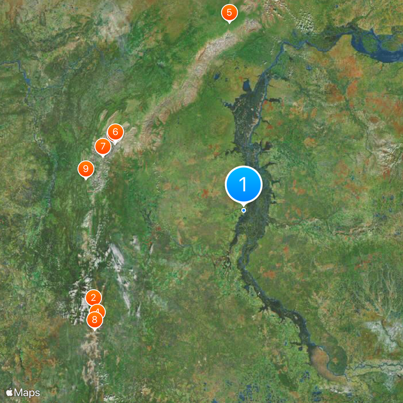
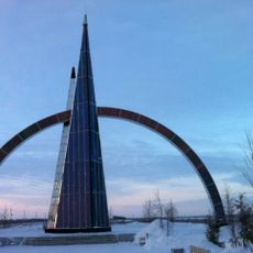
The settlement marks one of the northernmost points of the European part of Russia, sitting near the boundary where Europe transitions to Asian Russia. This geographical location makes it an interesting reference point for understanding Russia's vast territorial extent.

Location: établissement urbain de Beriozovo

Location: Beryozovsky District

Inception: 1593

Website: https://berezovo.ru

GPS coordinates: 63.93806,65.04194

Latest update: December 14, 2025 19:26

Photos
Around this place
Manpupuner rock formations
Russian Federation

Manpupuner rock formations

344.3 km
Mount Narodnaya
Russian Federation

Mount Narodnaya

265.9 km
North Urals
Russian Federation

North Urals

355.6 km
Polar Ural
Russian Federation

Polar Ural

333.3 km
Virgin Komi Forests
Russian Federation

Virgin Komi Forests

265.9 km
Subpolar Ural
Russian Federation

Subpolar Ural

277.1 km
Otorten
Russian Federation

Otorten

369.3 km
Yugyd Va National Park
Russian Federation

Yugyd Va National Park

297.8 km
Manaraga
Russian Federation

Manaraga

281.5 km
Little Sosva Nature Reserve
Russian Federation

Little Sosva Nature Reserve

212 km
Schugor
Russian Federation

Schugor

299.6 km
Inta water tower
Russian Federation

Inta water tower

328.7 km
Peter and Paul Church
Russian Federation

Peter and Paul Church

296.9 km
Здание инородческих управ, в котором была провозглашена советская власть в Обдорске (Салехард)
Russian Federation

Здание инородческих управ, в котором была провозглашена советская власть в Обдорске (Салехард)

296.6 km
Здание начальной школы 501-й стройки (Салехард)
Russian Federation

Здание начальной школы 501-й стройки (Салехард)

298.2 km
Polar circle monument
Russian Federation

Polar circle monument

300.1 km
Торговый дом купца И.Н. Корнилова (Салехард)
Russian Federation

Торговый дом купца И.Н. Корнилова (Салехард)

296.7 km
Obdorsky ostrog
Russian Federation

Obdorsky ostrog

296.6 km
Здание театра 501-й стройки (Салехард)
Russian Federation

Здание театра 501-й стройки (Салехард)

297.8 km
Obdorskoye Cemetery
Russian Federation

Obdorskoye Cemetery

298.1 km
Церковь Рождества Пресвятой Богородицы (каменная) (Берёзово)
Russian Federation

Церковь Рождества Пресвятой Богородицы (каменная) (Берёзово)

963 m
Фрагмент застройки (2 объекта) (Салехард)
Russian Federation

Фрагмент застройки (2 объекта) (Салехард)

298.1 km
Дом купца И.А. Рочева-Моторова (Салехард)
Russian Federation

Дом купца И.А. Рочева-Моторова (Салехард)

296.9 km
Обдорское кладбище (Салехард)
Russian Federation

Обдорское кладбище (Салехард)

298.1 km
Спасская церковь (Шеркалы)
Russian Federation

Спасская церковь (Шеркалы)

133.8 km
Памятник В.И. Ленину (Инта)
Russian Federation

Памятник В.И. Ленину (Инта)

329 km
Yelizarovsky Zakaznik
Russian Federation

Yelizarovsky Zakaznik

328.2 km
Church of the Nativity of the Blessed Virgin
Russian Federation

Church of the Nativity of the Blessed Virgin

969 m
Show the full map
Reviews

Visited this place? Tap the stars to rate it and share your experience / photos with the community! Try now! You can cancel it anytime.

« Beryozovo - Urban settlement in Beryozovsky District, Khanty-Mansi Autonomous Okrug, Russia » is provided by Around Us (aroundus.com). Images and texts are derived from Wikimedia project under a Creative Commons license. You are allowed to copy, distribute, and modify copies of this page, under the conditions set by the license, as long as this note is clearly visible.

Discover hidden gems everywhere you go!

From secret cafés to breathtaking viewpoints, skip the crowded tourist spots and find places that match your style. Our app makes it easy with voice search, smart filtering, route optimization, and insider tips from travelers worldwide. Download now for the complete mobile experience.

Around Us App Screenshot

A unique approach to discovering new places

Le Figaro

All the places worth exploring

France Info

A tailor-made excursion in just a few clicks

20 Minutes