
Колтубановська селищна рада
Колтубановська селищна рада, human settlement in Buzuluksky District, Orenburg Oblast, Russia
Location: Buzuluksky District
Capital city: Koltubanovskiy
GPS coordinates: 52.94194,52.03111
Latest update: March 11, 2025 03:02
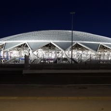
Samara Arena
125.5 km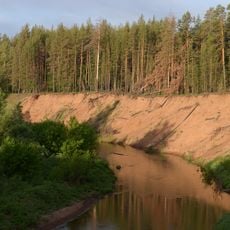
Buzuluksky Bor National Park
8.9 km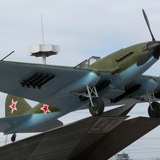
Monument Il-2 ground-attack aircraft
125.7 km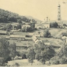
Savior Transfiguration monastery
24 km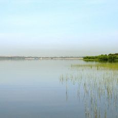
Sorochinskoe Reservoir
102.9 km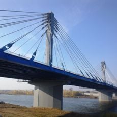
Kirov vehicle bridge
118.3 km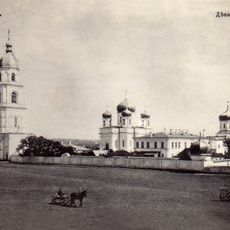
Tikhvin Virgin Monastery
24.2 km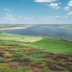
Kutulukskoye Vodokhranilishche
45.7 km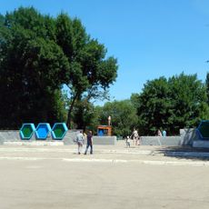
50th October park
122.4 km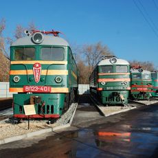
Samara railway museum
120.2 km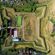
Krasnoyarskaya Fortress
124.9 km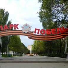
Victory park
125.5 km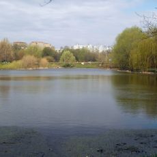
Voronezhskije Ozera park
125.3 km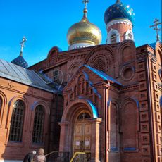
Holy Resurrection Monastery
123.7 km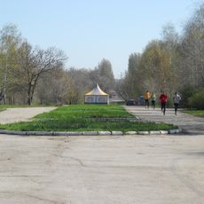
Molodezhnyi park (Samara)
123.7 km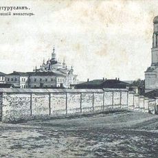
Бугурусланский Покровский монастырь
83.1 km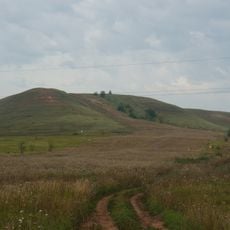
Sernovodny Hill
117 km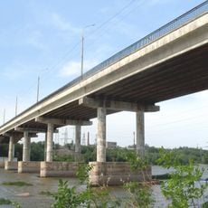
Южный мост (Самара)
125.4 km
ЦСК ВВС (стадион, Самара)
124.9 km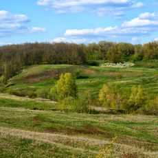
Desert roses of Chubovka
111.8 km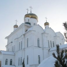
Храм Святой Троицы города Бугуруслана
79.4 km
Тирис (разъезд)
123.3 km
Krasnogwardiejec
36.8 km
Чувикс
72 km
1192 км
47.1 km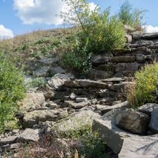
Waterfall in Syreyka
107.4 km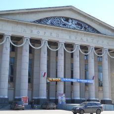
Litvinov Palace of Culture
122.1 km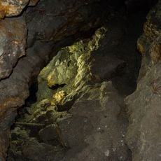
Golden cave
108.3 kmReviews
Visited this place? Tap the stars to rate it and share your experience / photos with the community! Try now! You can cancel it anytime.
Discover hidden gems everywhere you go!
From secret cafés to breathtaking viewpoints, skip the crowded tourist spots and find places that match your style. Our app makes it easy with voice search, smart filtering, route optimization, and insider tips from travelers worldwide. Download now for the complete mobile experience.

A unique approach to discovering new places❞
— Le Figaro
All the places worth exploring❞
— France Info
A tailor-made excursion in just a few clicks❞
— 20 Minutes