Тури Çăл, human settlement in Klyavlinsky District, Samara Oblast, Russia
Location: Сельское поселение Чёрный Ключ
GPS coordinates: 54.32042,51.91228
Latest update: June 15, 2025 22:45
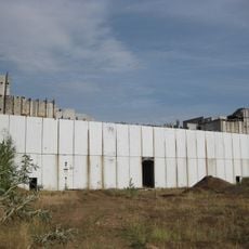
Tataria Nuclear Power Station
132.9 km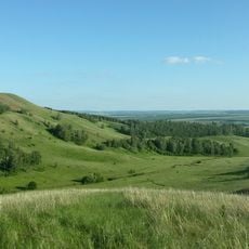
Çatır taw
104.3 km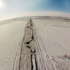
Istoricheskiy Val
135.9 km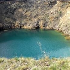
Aktashsky Proval Lake
67.9 km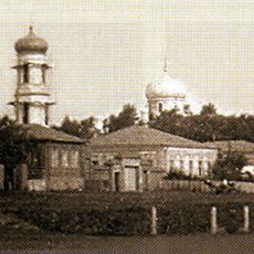
Бугульминский Казанско-Богородицкий монастырь
62.2 km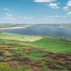
Kutulukskoye Vodokhranilishche
127.6 km
Almetyevsk Tatar State Dramatic Theatre
69.2 km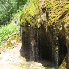
Shumilovsky waterfall
111 km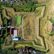
Krasnoyarskaya Fortress
134.9 km
Bugulminsky Alexandro-Nevsky monastery
60.3 km
Genko's Forest Belt
139.1 km
Jaroslav Hašek museum, Bugulma
62.3 km
Бугурусланский Покровский монастырь
81.9 km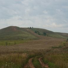
Sernovodny Hill
61.7 km
С. Н. Ғимаев исемендәге боҙло комплекс
119.1 km
Bolshaya Sulcha
92 km
Tuymazy State Tatar Drama Theatre
119.4 km
Desert roses of Chubovka
134.1 km
Styarle
121.9 km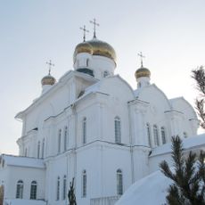
Храм Святой Троицы города Бугуруслана
85.2 km
Бугульминский краеведческий музей
62.6 km
Obamza
141.1 km
Тирис (разъезд)
131 km
Амировка (роз'їзд, Ульяновська область)
114.5 km
Педер Хузангай музее
141.8 km
Our Lady of Kazan cathedral in Almetyevsk
68.6 km
Академик А.Е. Арбузовның музей-йорты
123 km
Yaxşıbay Mosque
103 kmReviews
Visited this place? Tap the stars to rate it and share your experience / photos with the community! Try now! You can cancel it anytime.
Discover hidden gems everywhere you go!
From secret cafés to breathtaking viewpoints, skip the crowded tourist spots and find places that match your style. Our app makes it easy with voice search, smart filtering, route optimization, and insider tips from travelers worldwide. Download now for the complete mobile experience.

A unique approach to discovering new places❞
— Le Figaro
All the places worth exploring❞
— France Info
A tailor-made excursion in just a few clicks❞
— 20 Minutes