
Kurayskoye rural settlement
Kurayskoye rural settlement, human settlement in Kosh-Agachsky District, Altai Republic, Russia
Location: Kosh-Agachsky District
Capital city: Kuray (village)
GPS coordinates: 50.22389,87.93222
Latest update: March 6, 2025 14:45
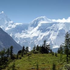
Belukha Mountain
106.6 km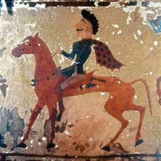
Pazyryk burials
73.5 km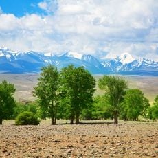
Golden Mountains of Altai
139.9 km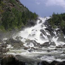
Uchar waterfall
100.2 km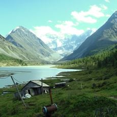
Akkem
105.1 km
Lake Kucherla
115.2 km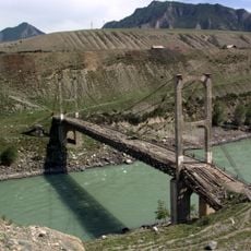
Inya Bridge
96.5 km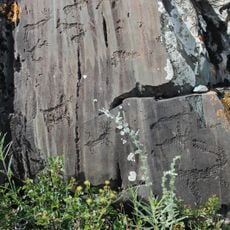
Kalbak-Tash
81.6 km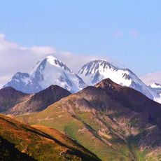
Gebler Glacier
108.2 km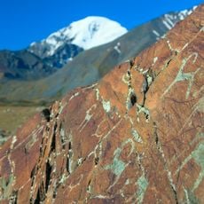
Petroglyphs of the Yelangash Valley
42.9 km
Petroglyphic Complexes of the Mongolian Altai
104.5 km
Nature Park Ukok
119.3 km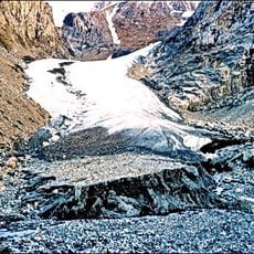
Малый Актуру
23.1 km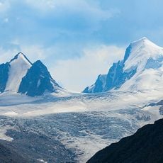
Sofia Glacier
49.2 km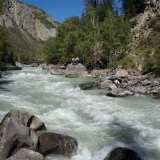
Begemot Rapid
51.9 km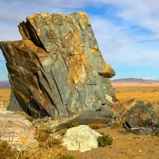
Tarkhatinsky Megaliths
62.2 km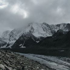
Lednik Akkem
107.2 km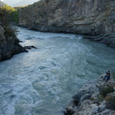
Gorizont Rapid
87.7 km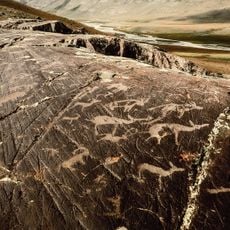
Tsagaan Salaa Rock Paintings
104.5 km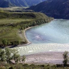
Chuya and Katun Rivers Confluence
91.4 km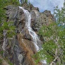
Shirlak Waterfall
52.4 km
Turbinny Rapid
87.1 km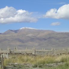
Tabazhok
67 km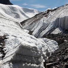
Maashei glacier
27.8 km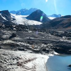
Большая Талдура
48.3 km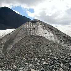
Irbistu
51.8 km
Велика Білобомська печера
65.1 km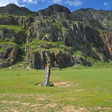
Chuysky deer stone, Iodro
77.8 kmReviews
Visited this place? Tap the stars to rate it and share your experience / photos with the community! Try now! You can cancel it anytime.
Discover hidden gems everywhere you go!
From secret cafés to breathtaking viewpoints, skip the crowded tourist spots and find places that match your style. Our app makes it easy with voice search, smart filtering, route optimization, and insider tips from travelers worldwide. Download now for the complete mobile experience.

A unique approach to discovering new places❞
— Le Figaro
All the places worth exploring❞
— France Info
A tailor-made excursion in just a few clicks❞
— 20 Minutes