Hallandsåsen, Geological horst in Skåne and Halland, Sweden
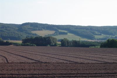
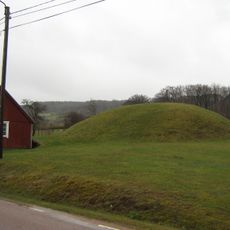
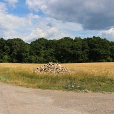
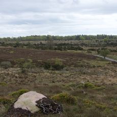
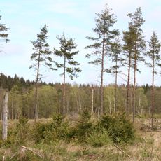
Hallandsåsen is a geological ridge formed by tectonic forces, stretching roughly 40 kilometers with varying widths between 5 and 10 kilometers and reaching 201 meters at its highest point. The formation spans across four municipalities in the Skåne and Halland regions of southern Sweden.
The ridge formed during the Late Cretaceous period roughly 80 million years ago through parallel faulting of the underlying bedrock. These ancient geological processes created the structure that defines the landscape today.
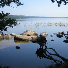
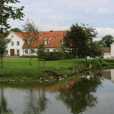
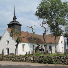
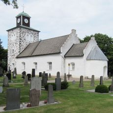
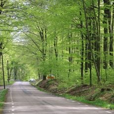
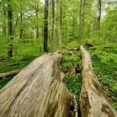
The ridge connects several communities and shapes the identity of this southern region. Local people use the landscape for recreation and activities that reflect their connection to the land.
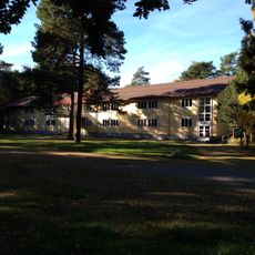
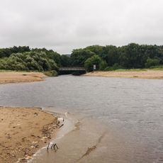
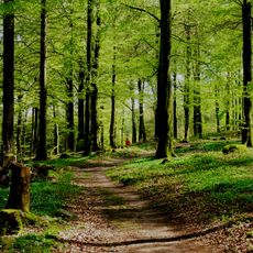
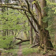
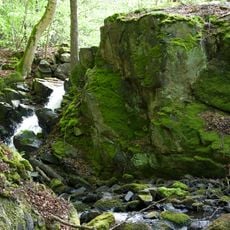
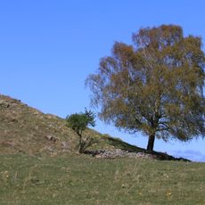
Several access points around the ridge allow visitors to explore it using established walking trails that connect across the municipalities. The routes are straightforward to walk and offer varying experiences depending on where you start.
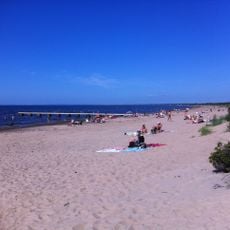
In the northern section, the ridge extends beneath the sea, forming the island of Hallands Väderö near the village of Torekov. This underwater continuation reveals how the geological structure reaches beyond what appears on the land surface.
The community of curious travelers
AroundUs brings together thousands of curated places, local tips, and hidden gems, enriched daily by 60,000 contributors worldwide.