Fuxerna 46:1, hällristning i Västergötland
Location: Lilla Edet Municipality
GPS coordinates: 58.12012,12.12688
Latest update: April 13, 2025 03:30
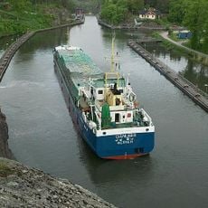
Trollhätte Canal
13.4 km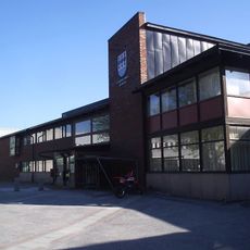
Gemeinde Stenungsund
13 km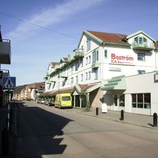
Gemeinde Lilla Edet
2.8 km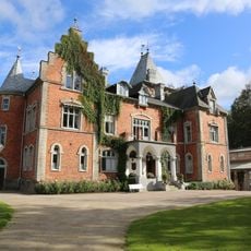
Thorskogs Grand Manor House
9.7 km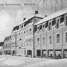
Svenshögens Sanatorium
10.8 km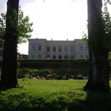
Ström House
2.1 km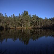
Svartedalens natur- och friluftsområde
14.5 km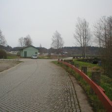
Road at Åsen on old Highway 2
13.2 km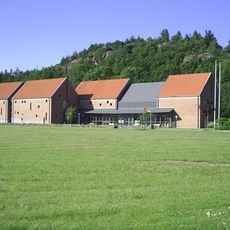
Lödöse museum
9.5 km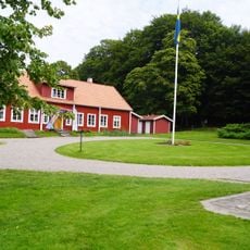
Alvhems kungsgård
13.9 km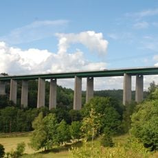
Ödsmålsbron
14.6 km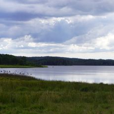
Vanderydsvattnet
14.5 km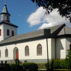
Ucklums kyrka
10.9 km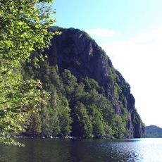
Börs Flåg
11.3 km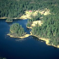
Bredfjället
11.9 km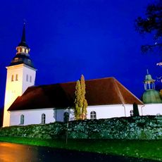
Hjärtum Church
6.9 km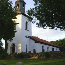
Fuxerna Church
949 m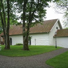
Rommele Church
9.4 km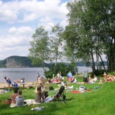
Bastevik
10.5 km
Svartedalens vildmarksområde
10.8 km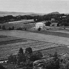
Ramstorp Jätteberget
13.8 km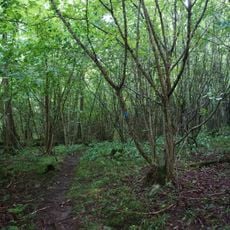
Rapenskårs lövskogar
12.5 km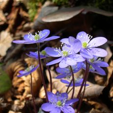
Grössby södra 4:1
10.3 km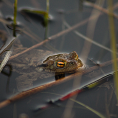
Lilla Boda naturreservat
12.4 km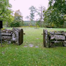
Gamla begravningsplatsen, Ucklum
9.6 km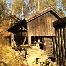
Hjärtums hembygdsförening
6.8 km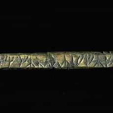
Västergötlands runinskrifter 270
9.8 km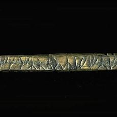
Västergötlands runinskrifter 262
10 kmReviews
Visited this place? Tap the stars to rate it and share your experience / photos with the community! Try now! You can cancel it anytime.
Discover hidden gems everywhere you go!
From secret cafés to breathtaking viewpoints, skip the crowded tourist spots and find places that match your style. Our app makes it easy with voice search, smart filtering, route optimization, and insider tips from travelers worldwide. Download now for the complete mobile experience.

A unique approach to discovering new places❞
— Le Figaro
All the places worth exploring❞
— France Info
A tailor-made excursion in just a few clicks❞
— 20 Minutes
