
Tegneby 47:1, röse i Bohuslän
Location: Orust Municipality
GPS coordinates: 58.12064,11.52437
Latest update: August 27, 2025 04:22
Gemeinde Orust
8.1 km
Pilane sculpture park
10.3 km
Sundsby
11.2 km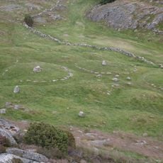
Pilane
10.2 km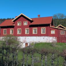
Tjörn (lawis sa Suwesya)
10.3 km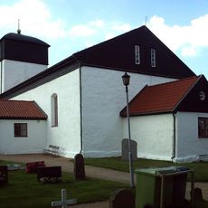
Morlanda Church
8.2 km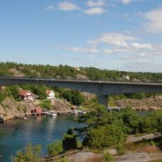
Skåpesundsbron
10.9 km
Haga dolmen
5.6 km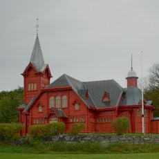
Hälleviksstrand Church
4.7 km
Westkust
3.7 km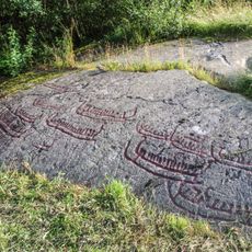
Basteröds hällristningar
9.7 km
Hogastenen
11.1 km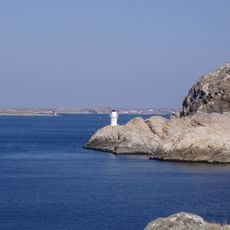
Islandsberg
11.4 km
Stigfjorden
7.8 km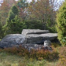
Lunden megalith grave
569 m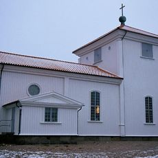
Flatö kyrka
11.5 km
Valsäng strand
8.7 km
Valön
4.4 km
Svanvik
9 km
Kälkerön
5.9 km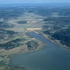
Säby kiles naturreservat
11.6 km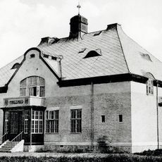
Orusts och Tjörns domsaga
11.1 km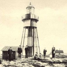
Måseskär old lighthouse
11.8 km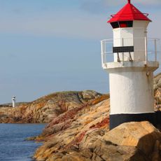
Mollösund lighthouse
6.2 km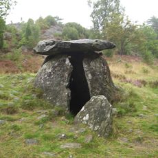
Haga dösen
5.6 km
Grundsunds badplats
11.6 km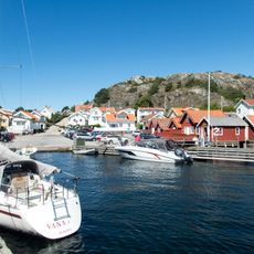
Rågårdsviks badplats
10 km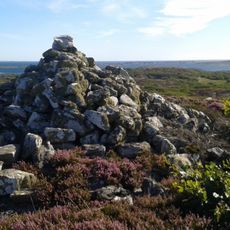
Gullholmen 10:1
9.8 kmReviews
Visited this place? Tap the stars to rate it and share your experience / photos with the community! Try now! You can cancel it anytime.
Discover hidden gems everywhere you go!
From secret cafés to breathtaking viewpoints, skip the crowded tourist spots and find places that match your style. Our app makes it easy with voice search, smart filtering, route optimization, and insider tips from travelers worldwide. Download now for the complete mobile experience.

A unique approach to discovering new places❞
— Le Figaro
All the places worth exploring❞
— France Info
A tailor-made excursion in just a few clicks❞
— 20 Minutes