
Nätra 226:1, stensättning i Ångermanland
Location: Örnsköldsvik Municipality
GPS coordinates: 63.24175,18.40067
Latest update: April 12, 2025 08:11
Örnsköldsvik Municipality
16.5 km
Slåttdalsskrevan
15.7 km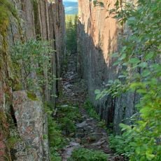
Skuleskogen National Park
15.1 km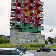
Ting1
16.5 km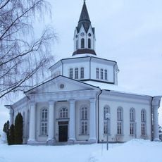
Själevad Church
11.8 km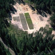
Genesmon
14.8 km
Balesudden
16.4 km
Paradisbadet
16.4 km
Själevad parish
9.1 km
Varvsberget
15.5 km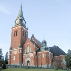
Örnsköldsvik Church
16.6 km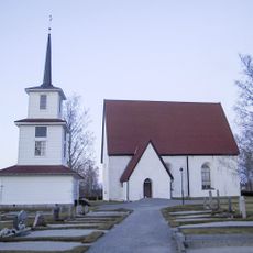
Sidensjö Church
7.6 km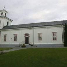
Mo Church
15.4 km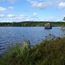
Rock art at Åbodsjön
15.4 km
Domsjö church
15.2 km
Ångermanlands norra domsagas tingslag
16.6 km
Herrgårdsudden
10 km
Billaberget
10 km
Skuleskogen
13.2 km
Västanåhöjden
11.1 km
Nätra tingslag
7 km
Hörnsjön
15.4 km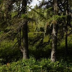
Stakamyran
13.8 km
Nyängetshavsbad
14.3 km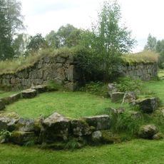
Nätra gamle Kirke
7.7 km
Arkenbiblioteket
16.5 km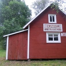
Arbeitslosenheim Skulnäs
8.9 km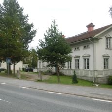
Gästgivaregården i Överhörnäs
9.3 kmReviews
Visited this place? Tap the stars to rate it and share your experience / photos with the community! Try now! You can cancel it anytime.
Discover hidden gems everywhere you go!
From secret cafés to breathtaking viewpoints, skip the crowded tourist spots and find places that match your style. Our app makes it easy with voice search, smart filtering, route optimization, and insider tips from travelers worldwide. Download now for the complete mobile experience.

A unique approach to discovering new places❞
— Le Figaro
All the places worth exploring❞
— France Info
A tailor-made excursion in just a few clicks❞
— 20 Minutes