
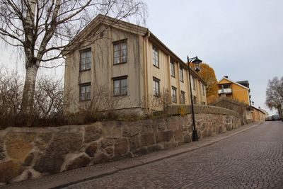
Borgmästaregården, Vimmerby
Location: Vimmerby Municipality
GPS coordinates: 57.66640,15.84792
Latest update: March 14, 2025 01:28

Rumskulla oak
15.1 km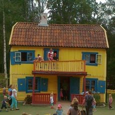
Astrid Lindgren's World
875 m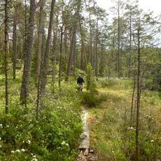
Norra Kvill National Park
18.8 km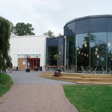
Astrid Lindgren Museum
1.1 km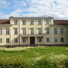
Ålhult
17.2 km
Runkesten, Rumskulla
14.6 km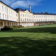
Hässleby sanatorium
17.1 km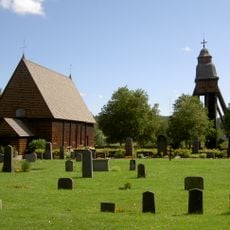
Djursdala Church
11.5 km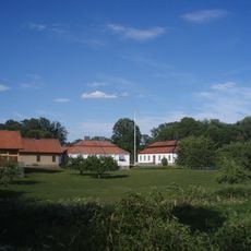
Toverum Manor
14.3 km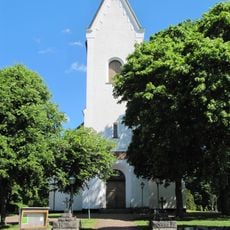
Hässleby Church
18.2 km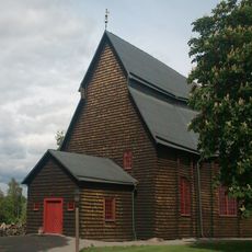
Frödinge Church
9.8 km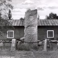
Hultsfreds slätt
17.7 km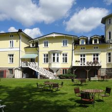
Fredensborgs herrgård
10.4 km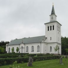
Lönneberga Church
17.3 km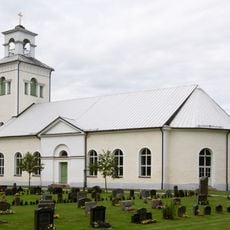
Rumskulla Church
15.3 km
Kvill
15.1 km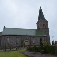
Locknevi Church
20.1 km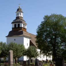
Södra Vi Church
9 km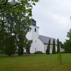
Hultsfred Church
19 km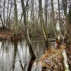
Hulingsryd
18.1 km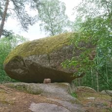
Runkesten
14.6 km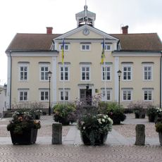
Rådhuset, Vimmerby
421 m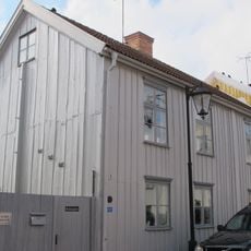
Rådmansgården
192 m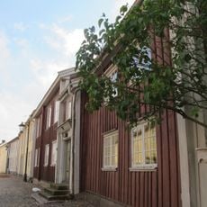
Tenngjutargården
105 m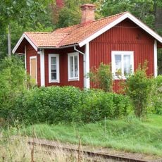
Apelkullens banvaktarstuga
18.1 km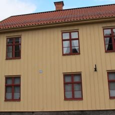
Museet Näktergalen
495 m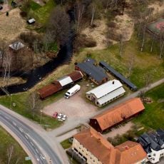
Mariannelunds gjuteri och mekaniska verkstad - "Julles"
17.2 km
Julles gjuteri och mekaniska verkstad
17.2 kmVisited this place? Tap the stars to rate it and share your experience / photos with the community! Try now! You can cancel it anytime.
Discover hidden gems everywhere you go!
From secret cafés to breathtaking viewpoints, skip the crowded tourist spots and find places that match your style. Our app makes it easy with voice search, smart filtering, route optimization, and insider tips from travelers worldwide. Download now for the complete mobile experience.

A unique approach to discovering new places❞
— Le Figaro
All the places worth exploring❞
— France Info
A tailor-made excursion in just a few clicks❞
— 20 Minutes