Stuorra Tuoipal, Berggipfel in Schweden
Location: Norrbotten County
Elevation above the sea: 985 m
GPS coordinates: 68.56260,20.03450
Latest update: October 28, 2025 07:17
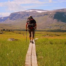
Kungsleden
56.1 km
Iron Ore Line
50.7 km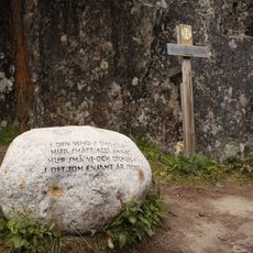
Dag Hammarskjöldsleden
56.2 km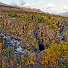
Øvre Dividal National Park
19.5 km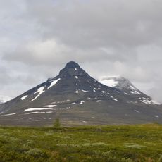
Pältsan
50.2 km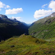
Rohkunborri National Park
43.6 km
Rounala Church
52.9 km
Gränsförsvarsmuseum
55.9 km
Abisko naturvet. station
54.7 km
Stordalen
46.9 km
Abisko Sami camp
56 km
Utsiktskullen
55.7 km
Lapporten view
55.6 km
Scenic viewpoint
56.1 km
Maanteiden korkein kohta
54.3 km
Paddus
55 km
Rävnabben
55.6 km
Kransnabben
55.9 km
Älgnabben
55.5 km
Stornabben
55.3 km
Moose Spot
55.6 km
Scenic viewpoint
54 km
Fågelkullen
55.6 km
Cairn
53.8 km
Cairn
54.2 km
Cairn
54.6 km
Cairn
55.6 km
Muotkatakan sotamuistomerkki
54.3 kmReviews
Visited this place? Tap the stars to rate it and share your experience / photos with the community! Try now! You can cancel it anytime.
Discover hidden gems everywhere you go!
From secret cafés to breathtaking viewpoints, skip the crowded tourist spots and find places that match your style. Our app makes it easy with voice search, smart filtering, route optimization, and insider tips from travelers worldwide. Download now for the complete mobile experience.

A unique approach to discovering new places❞
— Le Figaro
All the places worth exploring❞
— France Info
A tailor-made excursion in just a few clicks❞
— 20 Minutes