Enable Location

We need your location to show you interesting places around you

Discover nearby places

Find interesting locations and hidden gems around you

Precise directions

Get accurate directions and distances to places

Your location is never shared with other users. It's only used when you tap the location button.

Kungsleden

Log in to your account

Save your favorite places
Create custom travel routes
Rate and review places
Access the full interactive map
Continue with Google
Continue with Apple
Continue with email
By continuing, you accept our Terms and Conditions and our Privacy Policy
Create an account
Add to collection
Map
Suggest a change
Share

Kungsleden, Long-distance hiking trail between Abisko and Hemavan, Sweden

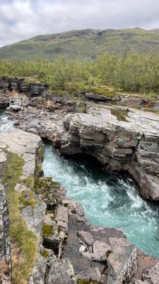
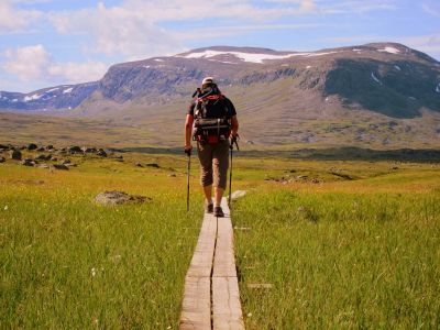
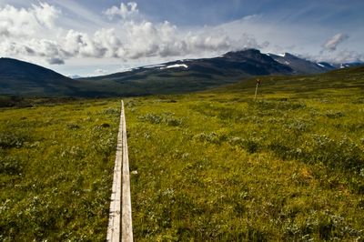
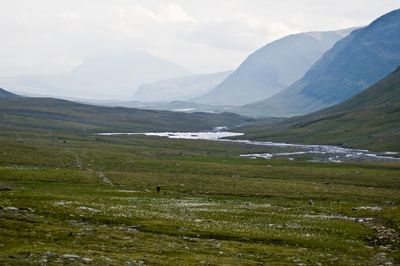
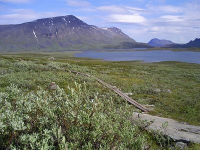
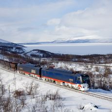
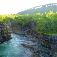
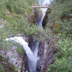
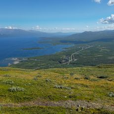
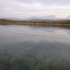
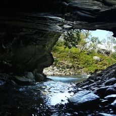
Kungsleden is a long-distance hiking trail between Abisko and Hemavan in Sweden, extending over 440 kilometers through the mountain landscapes of Lapland. The route passes through four national parks and connects birch forests, high plateaus, river valleys and glacier areas.

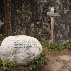
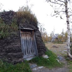
The Swedish Tourism Association began building the trail in the late 19th century to open the mountains to travelers. The first huts were constructed in 1907 near Abiskojávri and at Kebnekaise.

The name "King's Trail" reflects the path's route through remote wilderness once reserved for royal expeditions and early explorers. Hikers today share the route with Sami families who continue to move reindeer herds across these mountains each season.

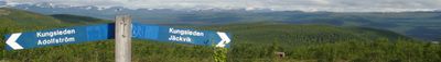
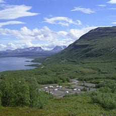
The trail is divided into sections that range from 9 to 22 kilometers apart, each reaching a mountain hut. Hikers should prepare for changing weather and consider that the best walking season runs from June through September.

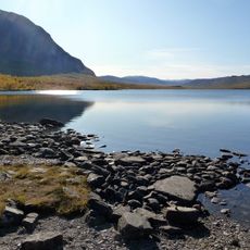
The route requires boat crossings over several lakes, with roughly 18 kilometers (11 miles) covered on water. A short road section of 29 kilometers (18 miles) links two trail portions together.

Location: Kiruna Municipality

Location: Gällivare Municipality

Location: Jokkmokk Municipality

Location: Storuman Municipality

Location: Arjeplog Municipality

Location: Sorsele Municipality

Inception: 1900s

Founders: Swedish Tourist Association

Address: Abisko Turiststation, 981 07 Abisko, Sweden

Website: http://svenskaturistforeningen.se

GPS coordinates: 68.35751,18.77356

Latest update: December 12, 2025 18:13

Photos
Hidden places in Sweden

Sweden stretches from southern sand beaches to forests and tundra in the north. The country preserves records from several millennia: prehistoric rock carvings, Viking burial sites, medieval fortresses, and 18th century ironworks. The coastline includes limestone cliffs, archipelago islands, and...

Reviews

Visited this place? Tap the stars to rate it and share your experience / photos with the community! Try now! You can cancel it anytime.

« Kungsleden - Long-distance hiking trail between Abisko and Hemavan, Sweden » is provided by Around Us (aroundus.com). Images and texts are derived from Wikimedia project under a Creative Commons license. You are allowed to copy, distribute, and modify copies of this page, under the conditions set by the license, as long as this note is clearly visible.

Discover hidden gems everywhere you go!

From secret cafés to breathtaking viewpoints, skip the crowded tourist spots and find places that match your style. Our app makes it easy with voice search, smart filtering, route optimization, and insider tips from travelers worldwide. Download now for the complete mobile experience.

Around Us App Screenshot

A unique approach to discovering new places

Le Figaro

All the places worth exploring

France Info

A tailor-made excursion in just a few clicks

20 Minutes