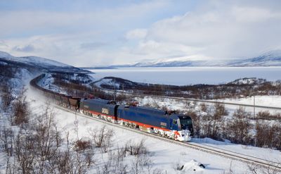
Iron Ore Line, railway line in northern Sweden, between Riksgränsen and Luleå
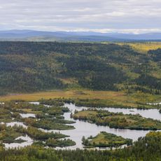
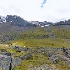
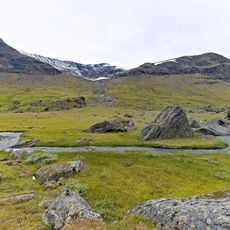
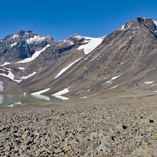
The Iron Ore Line is a railway in northern Sweden that runs roughly 470 kilometers from Kiruna in the north down to the port city of Luleå to the east. It was built as a strategic connection to transport iron ore from mining regions to the ports, passing through several municipalities across northern Sweden.
The line was built in the late 1800s to bring iron ore from northern Swedish mines to the ports in an economical way. Since then it has remained one of the most important railways for mining and freight transport in this region.
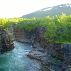
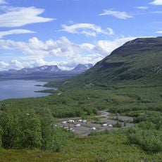
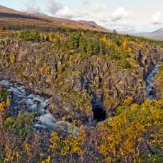
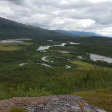
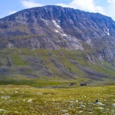
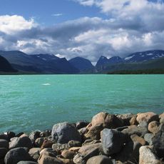
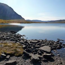
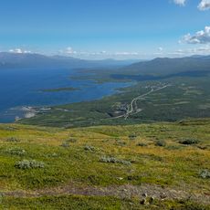
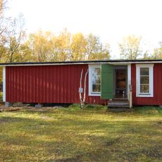
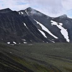
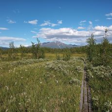
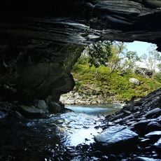
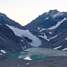
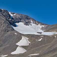
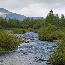
The line passes through sparsely populated areas with few stops for visitors along the way. If you want to explore the region, plan for longer travel times and expect limited services and facilities.
The community of curious travelers
AroundUs brings together thousands of curated places, local tips, and hidden gems, enriched daily by 60,000 contributors worldwide.