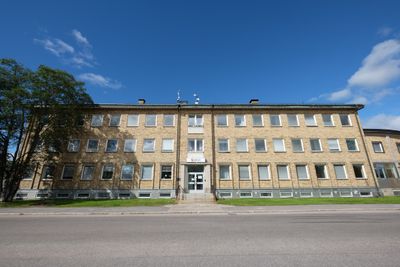
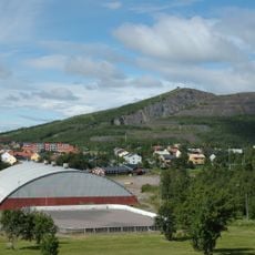
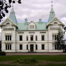
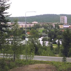
Gällivare Municipality, Municipal administrative center in Norrbotten County, Sweden
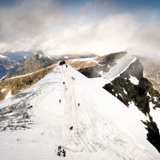
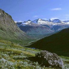
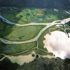
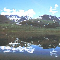
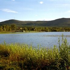
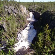
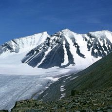
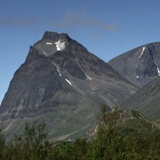
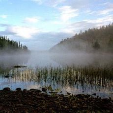
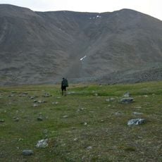
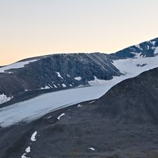
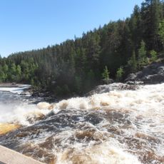
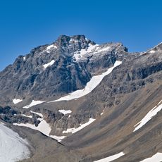
Gällivare is a municipality in the far north of Sweden covering vast terrain with diverse landscapes. The region includes forests, lakes, rivers, and mountains with several communities spread across the area serving as local centers.
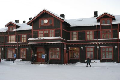
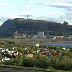
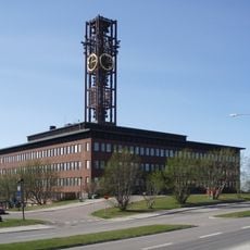
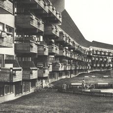
Iron ore deposits discovered centuries ago transformed this region from a trading area into a mining center. This shift shaped settlement patterns and economic activity that continue to influence the landscape today.
The Sámi heritage runs through daily life here, visible in local crafts, reindeer herding practices, and how communities relate to the land. Visitors encounter this living tradition in the way people work with nature and in regional art forms.
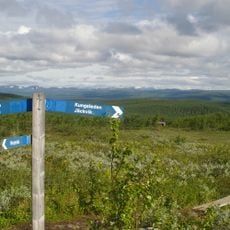
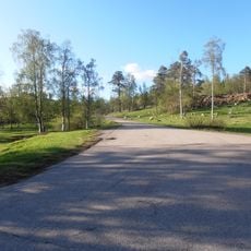
An airport provides regular flight connections while a scenic railway runs year-round connecting different areas. Outdoor activities are central to visiting here, with equipment rental services and trails available across the region.
The territory balances raw wilderness with historical mining settlements built around industrial sites. This contrast reveals how human communities carved out a living in one of Sweden's most remote areas.
Location: Norrbotten County
Inception: January 1, 1971
Capital city: Gällivare
Reference: 2523
Part of: Lapland, Gällivare domkrets
Shares border with: Narvik Municipality, Kiruna Municipality, Pajala Municipality, Överkalix Municipality, Boden Municipality, Jokkmokk Municipality, Hamarøy Municipality
Phone: +46970818000
Email: post@gallivare.se
Website: http://gellivare.se
GPS coordinates: 67.13333,20.65000
Latest update: December 17, 2025 09:26
Kebnekaise
124.6 km
Icehotel in Jukkasjärvi
79.8 km
Sarek National Park
129.7 km
Laponian National Park
134 km
Áhkká
144.3 km
Kiirunavaara
79.7 km
Porjus Hydroelectric Power Station
41.4 km
Stora Sjöfallet
107 km
Kiruna City Hall
81 km
Jukkasjärvi Church
79.4 km
Luossavaara
84.6 km
Dundret
6 km
Muddus National Park
31.2 km
Sarektjåkkå
130.2 km
Tuolpagorni
122.7 km
Fjällnäs Castle
953 mLuleälvsbron
43.6 km
Kiruna Former City Hall
82.1 km
Sjaunja Nature Reserve
64.2 km
Durlings led
127.5 km
Storglaciären
123 km
Ormen Långe
60.1 km
Pieljekaise National Park
191.3 km
Focus building, Malmberget
4.7 km
Linafallet
75 km
Town restructuration of Malmberget, Sweden
4.5 km
Victoria Fort
79.7 km
Kaskasatjåkka
125.8 kmVisited this place? Tap the stars to rate it and share your experience / photos with the community! Try now! You can cancel it anytime.
Discover hidden gems everywhere you go!
From secret cafés to breathtaking viewpoints, skip the crowded tourist spots and find places that match your style. Our app makes it easy with voice search, smart filtering, route optimization, and insider tips from travelers worldwide. Download now for the complete mobile experience.
A unique approach to discovering new places❞
— Le Figaro
All the places worth exploring❞
— France Info
A tailor-made excursion in just a few clicks❞
— 20 Minutes