
Louis Enders Gångväg, path in Gothenburg, Sweden
Location: Gothenburg Municipality
GPS coordinates: 57.70084,11.96861
Latest update: September 27, 2025 19:05
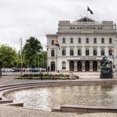
Stora Teatern
235 m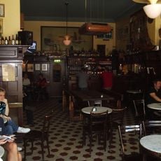
Ölhallen 7:an
339 m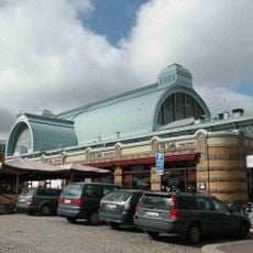
Saluhallen, Göteborg
303 m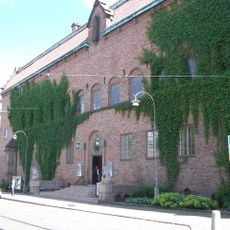
Röhsska museet
307 m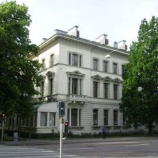
Dicksonska palatset
388 m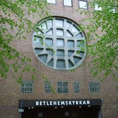
Betlehemskyrkan
260 m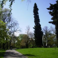
Kungsparken
72 m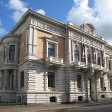
Wernerska villan
177 m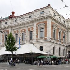
Valandhuset
149 m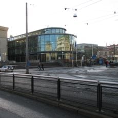
Pedagogen
293 m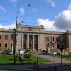
Gothenburg university, main administration building
303 m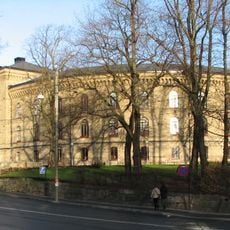
Sociala huset
293 m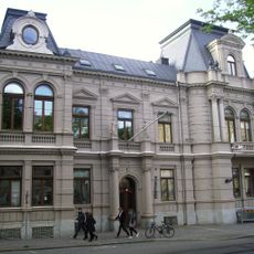
Heymanska villan
358 m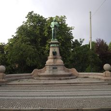
John Ericsson monument, Göteborg
249 m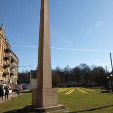
Torgny Segerstedtmonumentet
128 m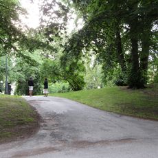
Vasaparken, Gothenburg
356 m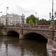
Kungsportsbron
325 m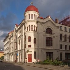
Göteborgs baptistförsamling
136 m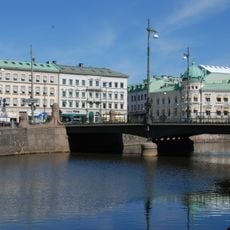
Vasabron, Göteborg
206 m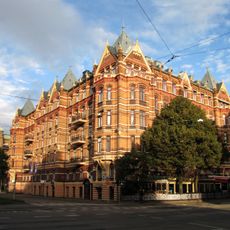
Kvarteret Rydboholm, Lorensberg
69 m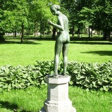
Krokus (skulptur)
40 m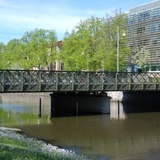
Viktoriabron
273 m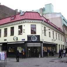
Domprosthuset
370 m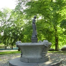
Flickan och sjötrollen
163 m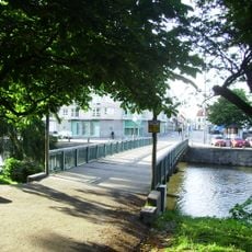
Bazarbron
176 m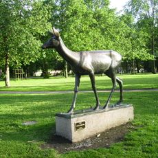
Rådjur
104 m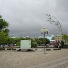
Tidsdokumentet
270 m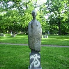
Våren (staty, 1995)
128 mReviews
Visited this place? Tap the stars to rate it and share your experience / photos with the community! Try now! You can cancel it anytime.
Discover hidden gems everywhere you go!
From secret cafés to breathtaking viewpoints, skip the crowded tourist spots and find places that match your style. Our app makes it easy with voice search, smart filtering, route optimization, and insider tips from travelers worldwide. Download now for the complete mobile experience.

A unique approach to discovering new places❞
— Le Figaro
All the places worth exploring❞
— France Info
A tailor-made excursion in just a few clicks❞
— 20 Minutes