
Roľnícka usadlosť, národná kultúrna pamiatka v obci Sulín, okrese Stará Ľubovňa
Location: Sulín
Inception: 2050s
Architectural style: vernacular architecture
GPS coordinates: 49.36703,20.75731
Latest update: August 29, 2025 22:57
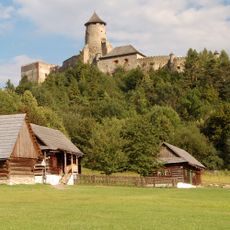
Ľubovňa Castle
7.1 km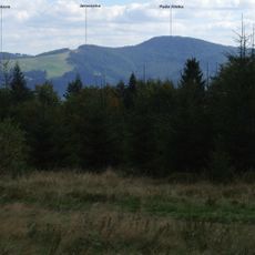
Pusta Wielka
6.6 km
Lublauer Gebirge
4.1 km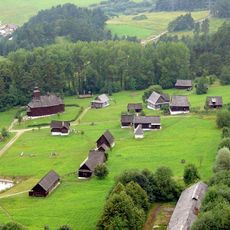
Open-air museum of Ľubovňa
7.1 km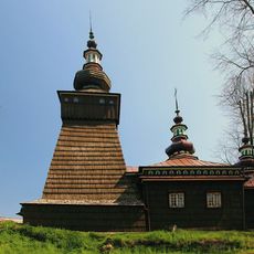
Church of St. Mary in Andrzejówka
5.5 km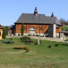
Church of Saint Michael Archangel in Wierchomla Wielka
7 km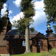
Saints Cosmas and Damian church in Milik
7.2 km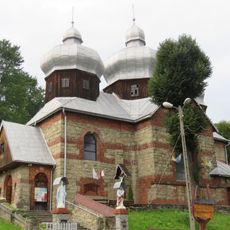
Saint Anne church in Żegiestów
3 km
Zapała
6.4 km
Jaworzynka (Pasmo Jaworzyny)
7.2 km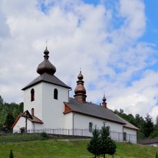
Saint Luke church in Zubrzyk
2.5 km
Kiczora (806)
6.5 km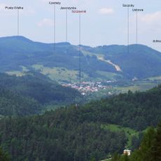
Czertezy
6.3 km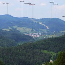
Szczoby
7.9 km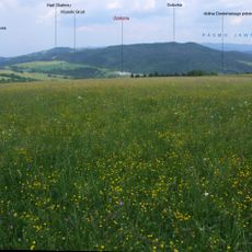
Solivka
2.2 km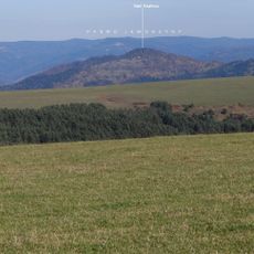
Nad Skalnou
4.5 km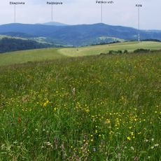
Pripor (Góry Lubowelskie)
4.1 km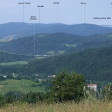
Sliboń
2.4 km
Niemiecki Wierch
6.2 km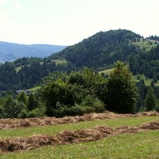
Karczmarska Góra
6.7 km
Petríkov vrch
6.7 km
Okrúhla
3 km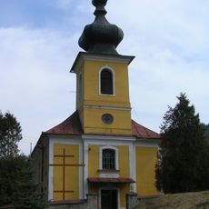
Chrám sv. Michala Archanjela
484 m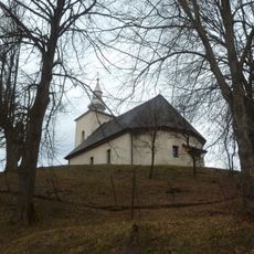
Chrám sv. Michala Archanjela
6.8 km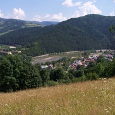
Kicarz
7.9 km
Drapa
5.7 km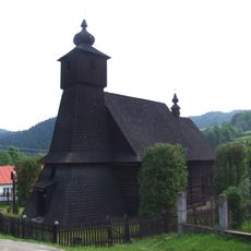
Kostol r. k. Nepoš. počatia. P. M.
4.3 km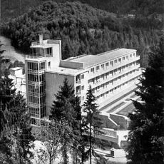
Wiktor Sanatorium in Żegiestów
3.9 kmReviews
Visited this place? Tap the stars to rate it and share your experience / photos with the community! Try now! You can cancel it anytime.
Discover hidden gems everywhere you go!
From secret cafés to breathtaking viewpoints, skip the crowded tourist spots and find places that match your style. Our app makes it easy with voice search, smart filtering, route optimization, and insider tips from travelers worldwide. Download now for the complete mobile experience.

A unique approach to discovering new places❞
— Le Figaro
All the places worth exploring❞
— France Info
A tailor-made excursion in just a few clicks❞
— 20 Minutes