Mueang Uttaradit, Administrative district in Uttaradit, Thailand
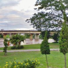
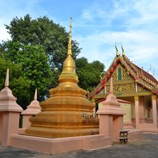
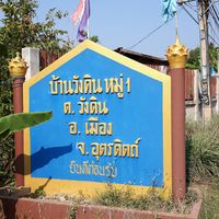
Mueang Uttaradit is an administrative district in northern Thailand comprising 17 sub-districts and many villages scattered across a wide area along the Nan River valley. The landscape is shaped by river plains, with fields and small settlements that form the provincial center.
The area became an administrative center in the 1930s and grew into the core of Uttaradit province under royal administration. This development made it a key point for regional governance and management across northern Thailand.
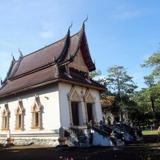
The district is an administrative hub where communities along the Nan River valley maintain their daily routines through farming and local crafts. Local traditions appear in seasonal celebrations and the way people move through their neighborhoods.
The district sits along the main transport corridor with train connections from the nearest station and is easily accessible to visitors. The best time to visit is the cooler season from October through February, when temperatures are more comfortable.
The area recorded one of the country's highest temperature readings, making it a notable place to understand the extreme climate conditions of northern Thailand. This meteorological history shapes how locals and visitors understand the region's climate today.
The community of curious travelers
AroundUs brings together thousands of curated places, local tips, and hidden gems, enriched daily by 60,000 contributors worldwide.