Nam Phong, Administrative district in Khon Kaen, Thailand
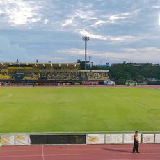
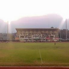
Nam Phong is an administrative district in Khon Kaen in northeastern Thailand, covering approximately 829 square kilometers. It comprises twelve sub-districts with numerous farming communities and sits at roughly 188 meters elevation.
The area was originally named Tha Wa before being renamed in 1909. It later became home to a Royal Thai Air Base during the Vietnam War era.
Rice paddies and sugarcane fields shape the daily rhythm and appearance of the district. These farming traditions remain central to local life and how people relate to the land.
The district is well connected to neighboring regions through Mittraphap Road and the Northeastern Railway. These transportation routes provide easy links to larger commercial centers in the area.
Natural gas reserves were discovered in the area in 1979, leading to the creation of a power plant. This facility continues to supply energy to communities across the region today.
The community of curious travelers
AroundUs brings together thousands of curated places, local tips, and hidden gems, enriched daily by 60,000 contributors worldwide.