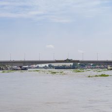
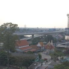
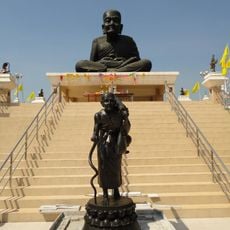
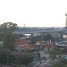
Sano Loi, subdistrict in Bang Bua Thong district, Nonthaburi province, Thailand
Location: Bang Bua Thong
Shares border with: Phimon Rat
GPS coordinates: 13.93333,100.36667
Latest update: May 13, 2025 02:38
Ko Kret
11.9 km
Wat Paramaiyikawat
13.5 km
Rama V Bridge
13.6 km
Rama IV Bridge
13.9 km
Wat Bang Phai
9.3 km
Phra Nang Klao Bridge
13.8 km
Wat Phai Lueang
8.7 km
Wat Khongkha
10.5 km
Wat Amphawan
11.7 km
Phra Nang Klao Parallel Bridge
13.7 km
Wat Phra Ngoen
11.9 km
Wat Saeng Siritham
11.9 km
Wat Prang Luang
12.1 km
Wat Prot Ket
12.3 km
Wat Sai Yai
7.9 km
Wat Bot Bon
12.7 km
Wat Pracha Rangsan
12.5 km
Wat Sao Thong Thong
12.8 km
Khlong Phra Udom
12.4 km
Wat Bang Phraek
9.6 km
Wat Chimphli Sutthawat
13.6 km
Wat Sing
13.4 km
Wat Anek Dittharam
9.9 km
Wat Thong Khung
12.5 km
Nonthaburi Province Stadium
12.2 km
Wat Toei
13.8 km
Wat Sanam Nuea
13.8 km
Wat Yukhantharawat
12.7 kmReviews
Visited this place? Tap the stars to rate it and share your experience / photos with the community! Try now! You can cancel it anytime.
Discover hidden gems everywhere you go!
From secret cafés to breathtaking viewpoints, skip the crowded tourist spots and find places that match your style. Our app makes it easy with voice search, smart filtering, route optimization, and insider tips from travelers worldwide. Download now for the complete mobile experience.
A unique approach to discovering new places❞
— Le Figaro
All the places worth exploring❞
— France Info
A tailor-made excursion in just a few clicks❞
— 20 Minutes