Chest opened
+${chestReward.xp} XP
Explorer
NOUVEAU ×${chestReward.collectible.quantity}
tapez pour fermer
Chest locked

Open chests in the app

Around Us is built for your phone — chests unlock when you walk, explore and capture nearby places.

Enable Location

We need your location to show you interesting places around you

Discover nearby places

Find interesting locations and hidden gems around you

Precise directions

Get accurate directions and distances to places

Your location is never shared with other users. It's only used when you tap the location button.

Log in to your account

Start exploring — it's free

Trusted by 72,880 travelers worldwide

Continue with Google
Continue with Apple
or

We will send you a code to connect

By continuing, you accept our Terms and Conditions and our Privacy Policy

Check your inbox

We've sent a pincode in your inbox. Please enter the code below.

West Lancashire
Discussion Reviews Photo
15.3k Popularity

West Lancashire, Parliamentary constituency in the United Kingdom, 1983 onwards

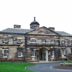
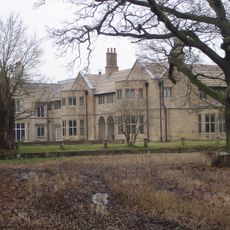
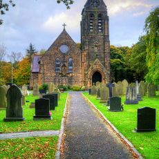
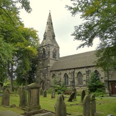
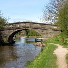
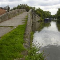
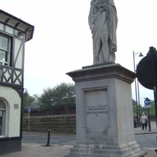
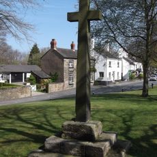
West Lancashire is a rural area in North West England with a mix of villages, farmland, and small towns including Skelmersdale, Ormskirk, and Burscough. The landscape is defined by fields and pastures, while the towns feature broad streets and open spaces.

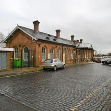
The area was historically dominated by farming and was modernized after World War II with the creation of the planned town of Skelmersdale. Political reorganization in the 1980s established its present structure and marked a shift from traditional agriculture to modern industry.

The place is shaped by farming traditions and a strong sense of community. Regular markets in Ormskirk and farm markets show how people here exchange local products and meet their neighbors.

The area is easily accessible by roads and bus services and serves as a good base for exploring the region. Infrastructure with local shops, cafes, and parks is well distributed across the towns, offering visitors all essentials.

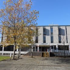
Skelmersdale was a post-war planned town that grew quickly, and today its wide streets and open spaces still show this era. An ongoing Masterplan project attempts to revive the town with new homes and green spaces.

The community of curious travelers

AroundUs brings together thousands of curated places, local tips, and hidden gems, enriched daily by 60,000 contributors worldwide.

Start exploring
Inception
June 9, 1983
GPS coordinates
53.56000,-2.81800
Latest update
February 20, 2026 00:20
Around this place
Lathom House
United Kingdom

Lathom House

1.8 km
Blythe Hall, Lathom
United Kingdom

Blythe Hall, Lathom

3.3 km
Burscough Priory
United Kingdom

Burscough Priory

3.6 km
Tower Hill Water Tower
United Kingdom

Tower Hill Water Tower

3.8 km
St Paul's Church, Skelmersdale
United Kingdom

St Paul's Church, Skelmersdale

2 km
Emmanuel Methodist United Reformed Church
United Kingdom

Emmanuel Methodist United Reformed Church

4.3 km
Church of Holy Trinity
United Kingdom

Church of Holy Trinity

3.4 km
Bath Lodge
United Kingdom

Bath Lodge

3.8 km
Church of St Michael
United Kingdom

Church of St Michael

3.7 km
Church of St James
United Kingdom

Church of St James

2.3 km
Moss Bridge
United Kingdom

Moss Bridge

3.6 km
Junction Bridge At Top Locks (That Part In Lathom)  Leeds And Liverpool Canal Junction Bridge At Top Locks (That Part In Burscough)
United Kingdom

Junction Bridge At Top Locks (That Part In Lathom) Leeds And Liverpool Canal Junction Bridge At Top Locks (That Part In Burscough)

4.2 km
Beaconsfield Monument
United Kingdom

Beaconsfield Monument

4.4 km
Boer War Memorial In Victoria Park
United Kingdom

Boer War Memorial In Victoria Park

4.3 km
Lathom War Memorial
United Kingdom

Lathom War Memorial

2.4 km
Skelmersdale Library
United Kingdom

Skelmersdale Library

3 km
Bickerstaffe War Memorial
United Kingdom

Bickerstaffe War Memorial

3.4 km
Post Office
United Kingdom

Post Office

3.8 km
Junction Bridge Canal Basin And Former Dry Dock, Top Locks (That Part In Lathom)  Leeds And Liverpool Canal Junction Bridge Canal Basin And Former Dry Dock, Top Locks (That Part In Burscough)
United Kingdom

Junction Bridge Canal Basin And Former Dry Dock, Top Locks (That Part In Lathom) Leeds And Liverpool Canal Junction Bridge Canal Basin And Former Dry Dock, Top Locks (That Part In Burscough)

4.2 km
Leeds And Liverpool Canal Top Locks, Upper Lock (That Part In Burscough)  Top Locks, Upper Lock (That Part In Lathom)
United Kingdom

Leeds And Liverpool Canal Top Locks, Upper Lock (That Part In Burscough) Top Locks, Upper Lock (That Part In Lathom)

4.2 km
Newburgh War Memorial
United Kingdom

Newburgh War Memorial

3.7 km
Skelmersdale War Memorial
United Kingdom

Skelmersdale War Memorial

1.2 km
Ashurst's Beacon
United Kingdom

Ashurst's Beacon

4.2 km
Canal Aqueduct
United Kingdom

Canal Aqueduct

4.1 km
Briars Brook Culvert
United Kingdom

Briars Brook Culvert

3.9 km
Village Cross On The Green
United Kingdom

Village Cross On The Green

3.7 km
Ormskirk Railway Station, Booking Office Etc On East Side Of Track
United Kingdom

Ormskirk Railway Station, Booking Office Etc On East Side Of Track

4.3 km
Canal Aqueduct
United Kingdom

Canal Aqueduct

4.1 km
Show the full map
Reviews
Share your experience

No review yet

Discussions
Start a discussion...

No discussion yet

« West Lancashire - Parliamentary constituency in the United Kingdom, 1983 onwards » is provided by Around Us (aroundus.com). Images and texts are derived from Wikimedia project under a Creative Commons license. You are allowed to copy, distribute, and modify copies of this page, under the conditions set by the license, as long as this note is clearly visible.

Discover hidden gems everywhere you go!

From secret cafés to breathtaking viewpoints, skip the crowded tourist spots and find places that match your style. Our app makes it easy with voice search, smart filtering, route optimization, and insider tips from travelers worldwide. Download now for the complete mobile experience.

Around Us App Screenshot

A unique approach to discovering new places

Le Figaro

All the places worth exploring

France Info

A tailor-made excursion in just a few clicks

20 Minutes

Around Us
Travel Guide & Maps
Download

Send to your phone

QR Code
1

Open the camera app on your mobile.

2

Point at the QR code with your camera. A notification will appear.

3

Tap the notification to open the link.