East Londonderry, Parliamentary constituency in the United Kingdom, 1983 onwards
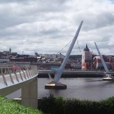
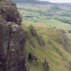
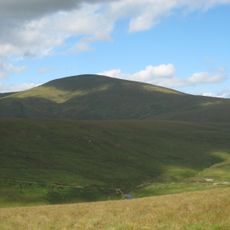
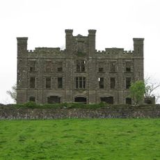
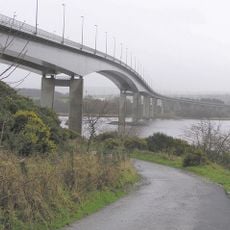
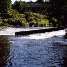
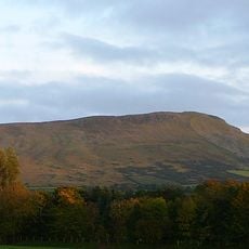
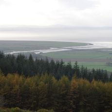
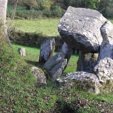
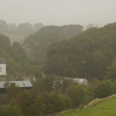
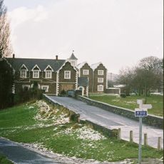
East Londonderry is a constituency in Northern Ireland that covers coastal resorts, small towns, and farmland with rolling hills and green fields. The area stretches from beaches in the north to the Sperrin Mountains in the south, linking urban centers like Coleraine and Limavady with rural areas.
The constituency was established in 1983 when the boundaries of the Londonderry area were redrawn to create separate constituencies. The region has a long past rooted in fishing, farming, and trade, which shaped its role as a place where different traditions come together.
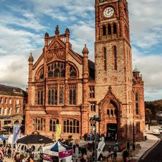
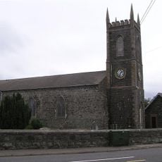
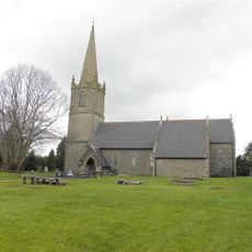
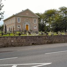
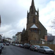
East Londonderry has a mixed community with Protestant and Catholic traditions visible in churches, community centers, and local festivals that bring people together. The different names used for the area reflect distinct identities that residents express through symbols and how they celebrate their heritage.
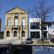
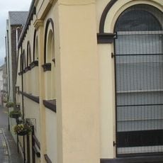
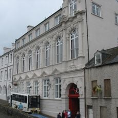
The area is easy to explore, with connections between the coast and rural communities through accessible roads and small village centers. Visitors can walk or cycle through the region and will find local shops, cafes, and community centers in the towns and villages.
The names used for this constituency are contested: many people call it simply Derry, the older Gaelic name, while official documents use East Londonderry. These naming differences are a visible sign of the distinct identities that exist side by side in the area.
The community of curious travelers
AroundUs brings together thousands of curated places, local tips, and hidden gems, enriched daily by 60,000 contributors worldwide.