Enable Location

We need your location to show you interesting places around you

Discover nearby places

Find interesting locations and hidden gems around you

Precise directions

Get accurate directions and distances to places

Your location is never shared with other users. It's only used when you tap the location button.

Enniskillen

Log in to your account

Start exploring — it's free

Trusted by 61,362 travelers worldwide

Continue with Google
Continue with Apple
or

We will send you a code to connect

By continuing, you accept our Terms and Conditions and our Privacy Policy

Check your inbox

We've sent a pincode in your inbox. Please enter the code below.

Enniskillen

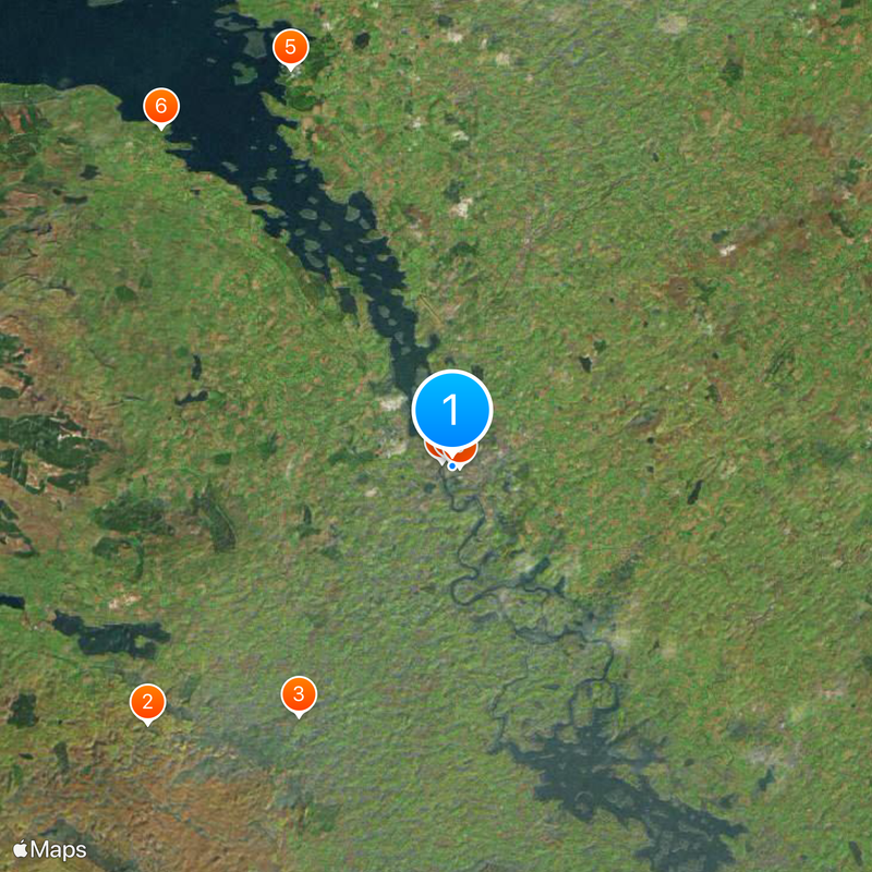
Enniskillen, County town between Upper and Lower Lough Erne, Northern Ireland.

Description

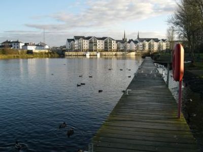
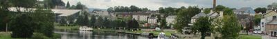
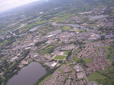
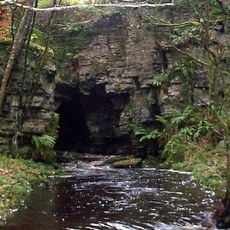
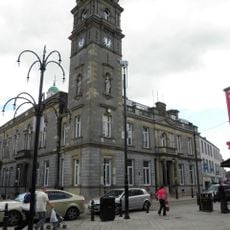
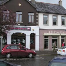
Enniskillen is a small town in County Fermanagh in western Northern Ireland, located on a natural island between Upper Lough Erne and Lower Lough Erne. The main commercial street runs along this narrow strip of land, connecting both shores through bridges, while residential areas and parking spaces spread onto the mainland on either side.

History

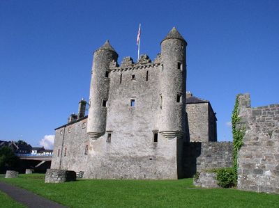
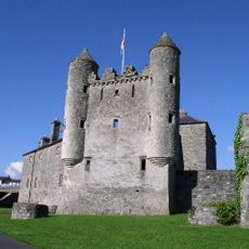
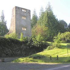
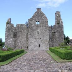
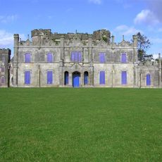
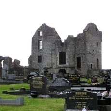
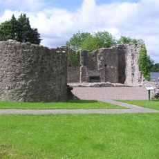
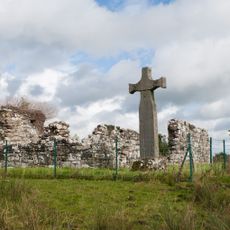
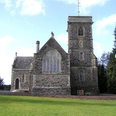
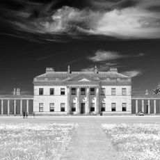
A castle built in the 15th century was erected by the Maguire family, who controlled the area until English takeover in the early 17th century. The location between the two lakes made the place a hub in the regional water network and enabled military control over trade and transport routes.

Culture

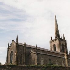
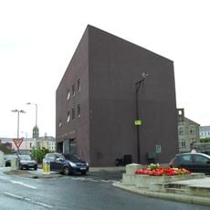
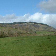
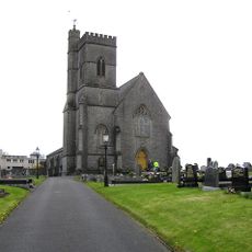
The town grew around an island separating two large lakes, serving for centuries as a crossing point between northern and southern waterways. Visitors today see along the main street a mix of old buildings and modern shops reflecting the life of a small town that remains closely tied to the water.

Practical

The town center can be easily explored on foot, as most shops and services are located along the continuous main street. Those arriving by car will find parking spaces outside the island core, from where the center is easily reached.

Did you know?

The central thoroughfare carries six different names along its length, even though it runs continuously without interruption. This variety of names reflects historical administrative boundaries that are now barely noticeable to visitors.

GPS coordinates
54.34472,-7.63889
Latest update
December 12, 2025 23:35

AroundUs brings together thousands of curated places, local tips, and hidden gems, enriched daily by 60,000 contributors worldwide. Discover all places nearby (Fermanagh and Omagh).

« Enniskillen - County town between Upper and Lower Lough Erne, Northern Ireland » is provided by Around Us (aroundus.com). Images and texts are derived from Wikimedia project under a Creative Commons license. You are allowed to copy, distribute, and modify copies of this page, under the conditions set by the license, as long as this note is clearly visible.

Discover hidden gems everywhere you go!

From secret cafés to breathtaking viewpoints, skip the crowded tourist spots and find places that match your style. Our app makes it easy with voice search, smart filtering, route optimization, and insider tips from travelers worldwide. Download now for the complete mobile experience.

Around Us App Screenshot

A unique approach to discovering new places

Le Figaro

All the places worth exploring

France Info

A tailor-made excursion in just a few clicks

20 Minutes

Around Us
Travel Guide & Maps
Download

Send to your phone

QR Code
1

Open the camera app on your mobile.

2

Point at the QR code with your camera. A notification will appear.

3

Tap the notification to open the link.