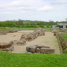
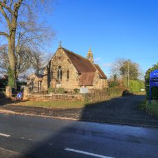
Redditch, Industrial town in Worcestershire, England
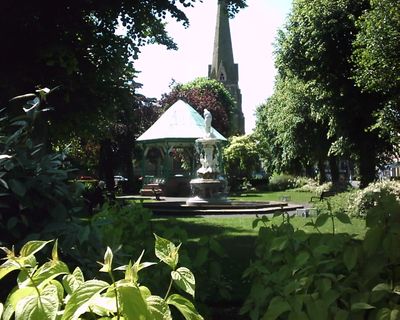
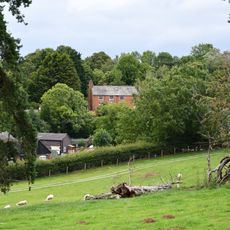
Redditch is a town in central England that follows the valley of the Arrow. Residential neighborhoods surround a business district with a large shopping center, bus stops, and main roads connecting residents to neighboring regions.
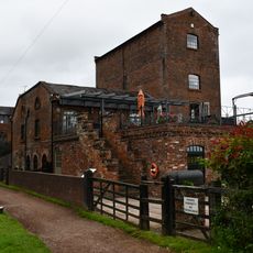
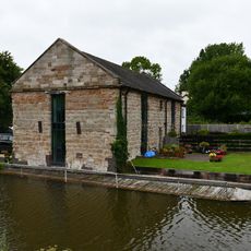
A small village grew from the 14th century into a center for needle production. During the 19th century, the population expanded rapidly as factories took up production of fishing tackle and other metalware, transforming the local economy.
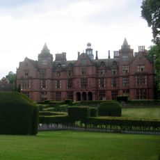
Needle-making shaped daily life and the layout of neighborhoods for generations. Street names still recall workshops and factories, while museum displays show the craftsmanship that once employed thousands of workers in small units across the area.
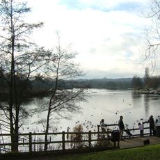
The town center is walkable, with benches, cafés, and covered areas for resting. Local buses run regularly to surrounding neighborhoods and nearby communities, so visitors can explore several districts without a car.
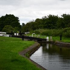
A network of separate cycle paths links neighborhoods and parks without direct contact with car traffic. Special underpasses for bicycles alone allow safe crossings beneath main roads, making cycling easier for families and daily commuters.
Location: Redditch
Inception: April 10, 1964
Elevation above the sea: 130 m
Shares border with: Stratford-upon-Avon
Website: http://redditchbc.gov.uk
GPS coordinates: 52.30694,-1.94917
Latest update: December 12, 2025 21:44
Tardebigge Locks
4.5 km
Hewell Grange
3.4 km
Bordesley Abbey
1.7 km
Forge Mill Needle Museum
1.4 km
Tardebigge Engine House
4.9 km
Arrow Valley Country Park
2.6 km
Palace Theatre
779 m
Redditch Central Mosque
845 m
Norgrove Court
3.6 km
Church of Our Lady of Mount Carmel
1.2 km
Church of St Peter
3.2 km
Church of St Bartholomew, Tardebigge
4.3 km
Church of St Leonard
3.6 km
Church of St Luke
1.4 km
Church of St Laurence
4.9 km
Church of St Stephen
570 m
Church of St Philip
2.2 km
Worcester and Birmingham Canal, Bridge Number 55
4.8 km
Worcester and Birmingham Canal, Lock Cottage at Lock 58, Tardebigge Flight
4.4 km
Worcester and Birmingham Canal, Canal Bridge About 100 Metres West South West of Lock 58
4.6 km
Worcester and Birmingham Canal, South Portal of the Tardebigge Tunnel
4.2 km
Worcester and Birmingham Canal, Lock Number 58 Including Side Pond Retaining Wall and Sluice Immediately South
4.5 km
Churchyard Cross About 15 Metres South Of Church Of St Bartholomew
4.3 km
Water Tower About 300 Metres South Of Hewell Grange
3.2 km
Plymouth House
4.3 km
Workshops About 75 Metres South West Of South Porch Of Tardbigge Tunnel
4.3 km
The Old Rectory
4.2 km
Holocaust Memorial, Redditch
592 mVisited this place? Tap the stars to rate it and share your experience / photos with the community! Try now! You can cancel it anytime.
Discover hidden gems everywhere you go!
From secret cafés to breathtaking viewpoints, skip the crowded tourist spots and find places that match your style. Our app makes it easy with voice search, smart filtering, route optimization, and insider tips from travelers worldwide. Download now for the complete mobile experience.
A unique approach to discovering new places❞
— Le Figaro
All the places worth exploring❞
— France Info
A tailor-made excursion in just a few clicks❞
— 20 Minutes