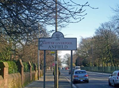
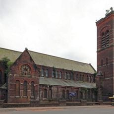
Anfield, Administrative district in Liverpool, England
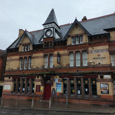
Anfield is an inner-city neighborhood in Liverpool centered around the Liverpool Football Club stadium, blending residential streets with commercial areas throughout the district. The neighborhood contains housing, shops, and parks that form a mixed urban setting.
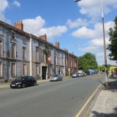
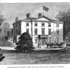
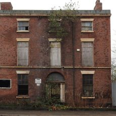
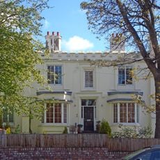
The neighborhood formed during the 1800s when Liverpool's growing population required new housing, transforming farmland into Victorian residential areas. This expansion shaped the street layout and buildings that still stand today.
Residents here feel deeply connected to the local football club, with match days bringing thousands of supporters streaming through the streets. This shared passion shapes daily life and creates strong bonds among those who live in the area.
The neighborhood connects to Liverpool's city center through several bus routes and is walkable throughout. Main shopping streets like Walton Breck Road are accessible and provide everything needed for a day visit.
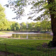
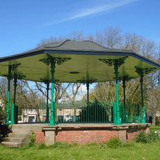
Stanley Park separates the home grounds of the two rival clubs Liverpool FC and Everton FC, creating a green buffer between their supporters. This arrangement gives the park a special role in the local sports landscape.
The community of curious travelers
AroundUs brings together thousands of curated places, local tips, and hidden gems, enriched daily by 60,000 contributors worldwide.