Tonbridge, Market town in Kent, England
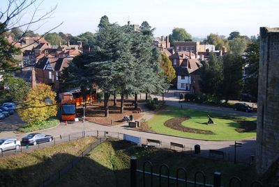
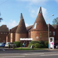
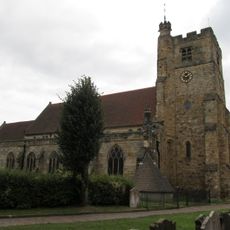
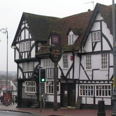
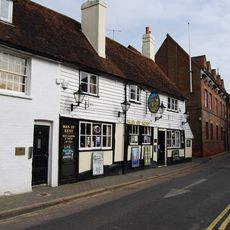
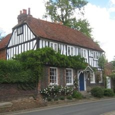
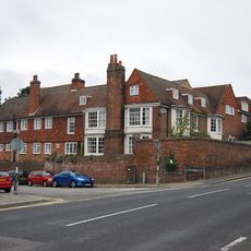
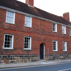
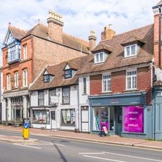
Tonbridge is a market town in Kent, England, that stretches along the River Medway, blending medieval structures with modern retail districts. The centre includes several pedestrian streets, parks, and residential areas that extend from the riverbanks to the wooded hills to the south.
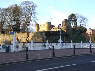
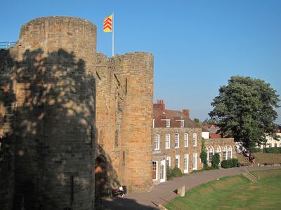
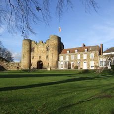
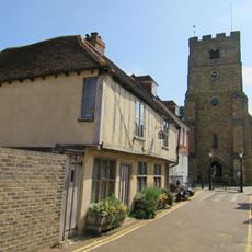
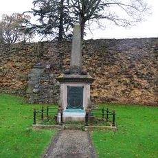
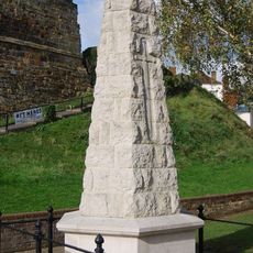
Norman invaders built a fortress here between 1066 and 1100 to control the river crossing and the routes into southeast England. The castle was later remodelled several times and besieged during 13th-century civil wars, but remained a key military post until the late medieval period.
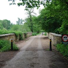
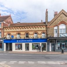
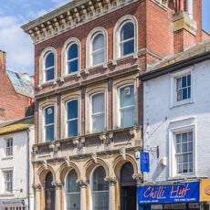
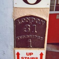
The town takes its name from the ancient bridge crossing the Medway, which has formed its central axis for centuries. On market days, streets around the town hall once filled with traders and buyers, a tradition still felt in parts of the old quarter today.
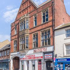
Visitors reach the town via a large railway station offering regular connections to London and coastal towns. The high street and pedestrian areas are easy to explore on foot, while car parks are available near the centre.
In 1896, a motorist received the first speeding ticket in Britain here after exceeding the limit of 2 miles per hour. This incident marked the start of traffic enforcement in the age of the automobile.
The community of curious travelers
AroundUs brings together thousands of curated places, local tips, and hidden gems, enriched daily by 60,000 contributors worldwide.