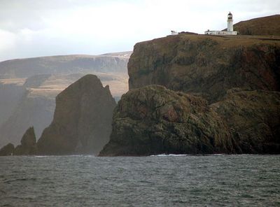
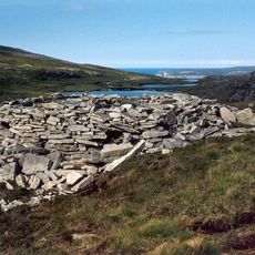
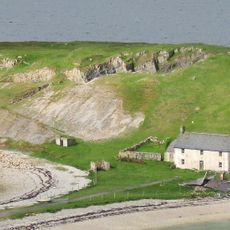
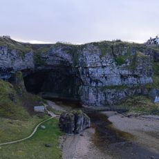
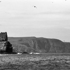
Cape Wrath, Coastal headland in Highland, Scotland
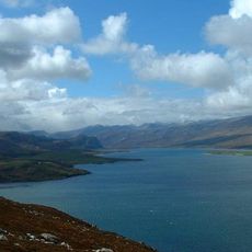
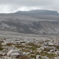
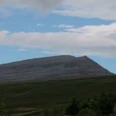
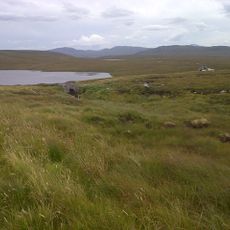
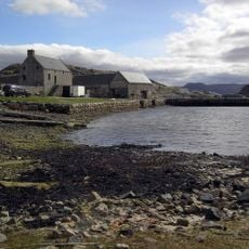
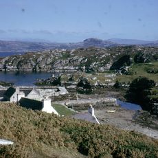
Cape Wrath is the northwesternmost point of mainland Britain, featuring sheer cliffs made of Torridonian sandstone and Lewisian gneiss that rise 281 meters (920 ft) above the Atlantic. The rocky headland drops steeply into the ocean without settlements or roads nearby, creating an isolated and wild coastal landscape.
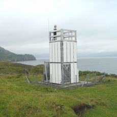
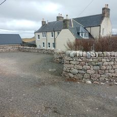
A lighthouse was built in 1828 to guide ships through this hazardous region, operating with human keepers for many decades. Its conversion to automatic operation in 1998 ended the era of staffed lighthouse work at this remote location.
The name comes from Old Norse 'hvarf', meaning a turning point for Viking ships navigating these northern waters. The rugged remoteness of this place still carries that maritime heritage in how locals and visitors experience it.
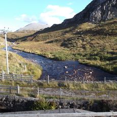
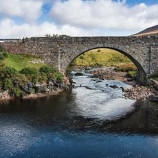
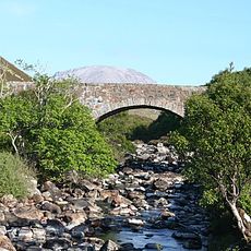
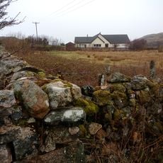
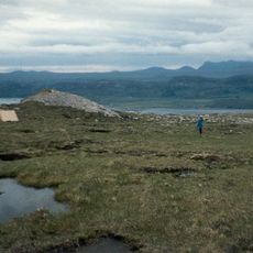
Access requires crossing by ferry at Kyle of Durness, then traveling by mini bus, which is the only transport available. Be prepared for harsh weather and strong winds, and check ahead as parts of the area close during military training exercises.
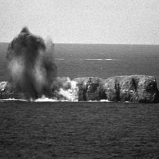
The Ministry of Defence uses extensive sections of the headland as a military training ground, which keeps the public away during exercises and adds to its remote feel. This military use is why the area has remained largely undeveloped and wild.
The community of curious travelers
AroundUs brings together thousands of curated places, local tips, and hidden gems, enriched daily by 60,000 contributors worldwide.