
Castle Morpeth District, former local government area in Northumberland, England, UK
Location: Northumberland
Inception: April 1, 1974
GPS coordinates: 55.15417,-1.68722
Latest update: March 9, 2025 07:34
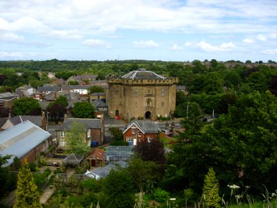
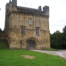
Morpeth Castle
1 km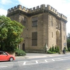
The Court House
1.2 km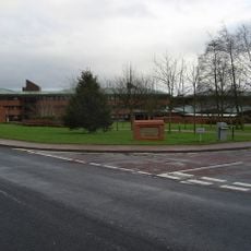
County Hall
246 m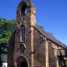
Morpeth Chantry Bagpipe Museum
1.4 km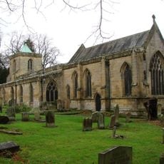
St Mary's, High Church
692 m
Morpeth Chantry
1.4 km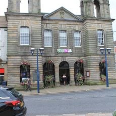
The Town Hall
1.5 km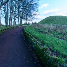
Motte and bailey castle on Haw Hill
1.2 km
Morpeth Chantry
1.4 km
St Aidan
771 m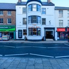
Black Bull Hotel
1.5 km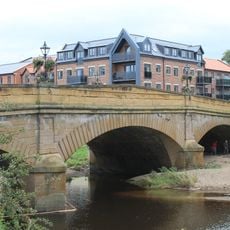
Telford Bridge
1.4 km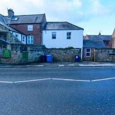
Pethgate Court
1.3 km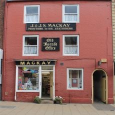
19, Bridge Street
1.5 km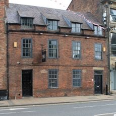
57, Bridge Street
1.5 km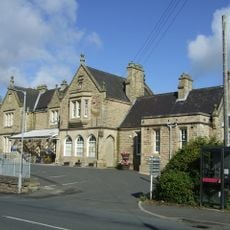
Old Station Buildings (Greens Agricultural Merchants)
951 m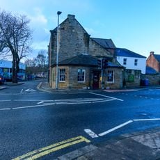
The Toll House
1.3 km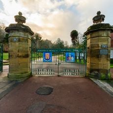
Gatepiers And Gates To Carlisle Park
1.2 km
59, Bridge Street
1.4 km
13, Castle Square
1.2 km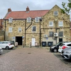
30 And 32, Bridge Street
1.4 km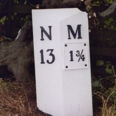
Milepost 500 Metres South Of Catchburn Farm
968 m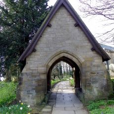
Lychgate North-East Of Church Of St Mary
710 m
Bollard By Rear Wall Of Joiners Arms
1.3 km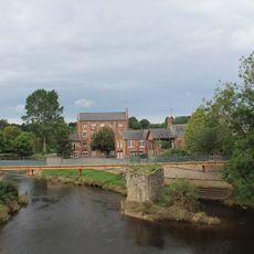
Morpeth Old Bridge
1.4 km
Milestone, Shields Road, just W of railway bridge, near Mafeking Park
975 m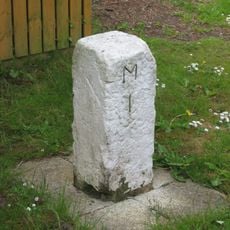
Milestone, Turner Square, Morpeth
746 m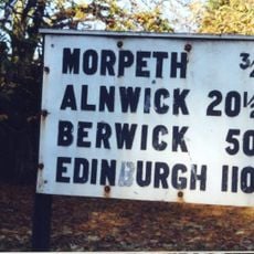
Sign board, jct with St Mary's Road
757 mVisited this place? Tap the stars to rate it and share your experience / photos with the community! Try now! You can cancel it anytime.
Discover hidden gems everywhere you go!
From secret cafés to breathtaking viewpoints, skip the crowded tourist spots and find places that match your style. Our app makes it easy with voice search, smart filtering, route optimization, and insider tips from travelers worldwide. Download now for the complete mobile experience.

A unique approach to discovering new places❞
— Le Figaro
All the places worth exploring❞
— France Info
A tailor-made excursion in just a few clicks❞
— 20 Minutes