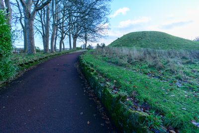
Motte and bailey castle on Haw Hill, motte-and-bailey castle in Morpeth, Northumberland, England, UK
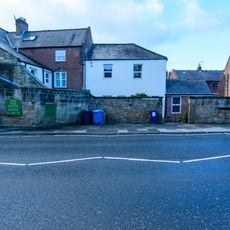
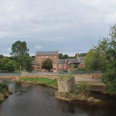
Motte and bailey castle on Haw Hill is a medieval fortification consisting of an earthen mound and an enclosed courtyard positioned on elevated ground in Morpeth. The structure features a raised hill with sloping sides and a flat area surrounding it from which visitors can view the surrounding Northumberland landscape.
The fortress was built during the Norman conquest of England in the 11th century as a strategic control point in the newly acquired northern region. It reflects how Norman rulers rapidly established military stations to enforce their authority over territories they had taken.
The name Haw Hill reflects the hilltop location where defenders once monitored the surrounding lands. Today the earthwork remains visible as a tangible reminder of how Norman rulers established their presence in northern England.
Visitors should wear sturdy footwear as the climb to the top involves uneven terrain and steep slopes throughout the site. Allow extra time for the ascent and check weather conditions beforehand, as exposed hilltop locations can become slippery when wet.
Archaeological work uncovered that the earthen mound measures approximately 25 meters across at its base, making it notably large among Norman fortifications in the region. This substantial size suggests the site held particular strategic value for the invaders who built it.
The community of curious travelers
AroundUs brings together thousands of curated places, local tips, and hidden gems, enriched daily by 60,000 contributors worldwide.