Morpeth, Market town in Northumberland, England.
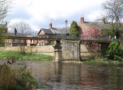
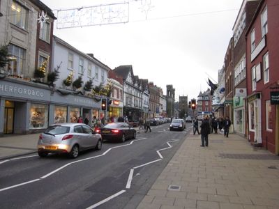
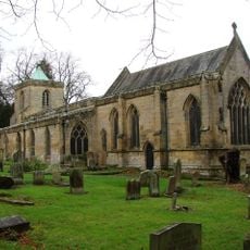
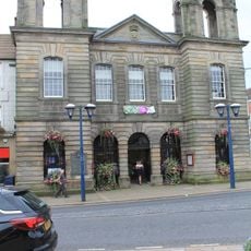
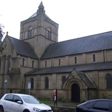
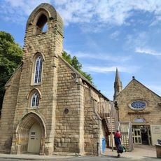
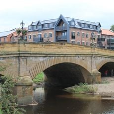
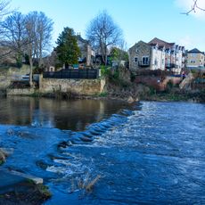
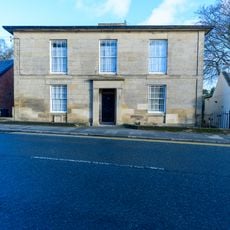
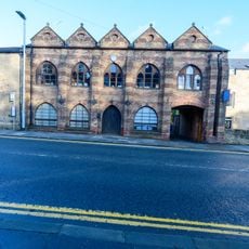
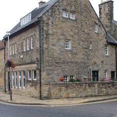
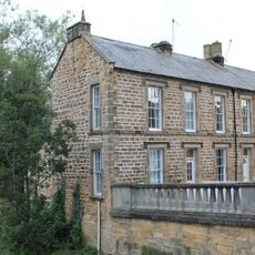
Morpeth is a market town in Northumberland, England, sitting on the River Wansbeck and serving as the administrative center of the county. Stone buildings line the winding streets, and a parish church rises above the low rooftops of the town center.
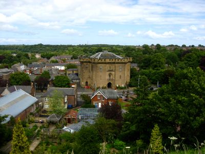
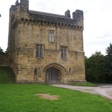
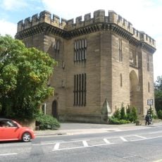
The de Merlay family took control of the settlement in 1080 and built two castles, of which only the 14th-century gatehouse survives today. A royal charter in 1200 granted the right to hold a Wednesday market, which has run without interruption since then.
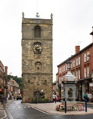
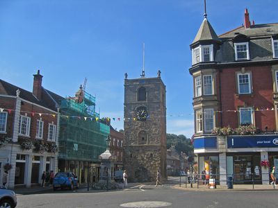
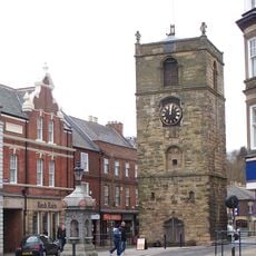
The name comes from Old English meaning murder path, though today this refers only to the gentle river crossing that shaped the settlement. Visitors walking the main street pass beneath an ornate clock tower that locals use as a meeting point throughout the day.
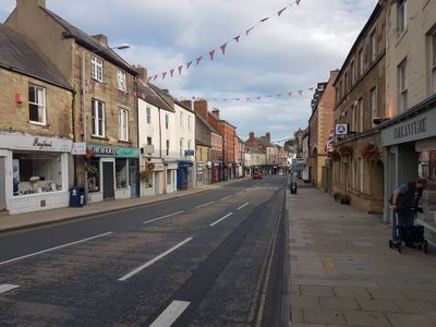
The railway station on the East Coast Main Line offers direct connections to Newcastle and Edinburgh for travelers exploring the surrounding region. Numerous shops and cafes along the main street open on most weekdays, with Wednesday being the busiest due to the market.
A floral clock in Carlisle Park ranks among only four working examples of this type in all of England. The planted hands and dial change appearance with the seasons, while the mechanism behind keeps accurate time.
The community of curious travelers
AroundUs brings together thousands of curated places, local tips, and hidden gems, enriched daily by 60,000 contributors worldwide.