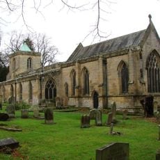
Morpeth Castle, Grade I listed castle in Morpeth, England
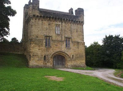
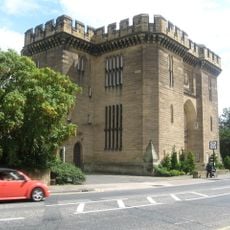
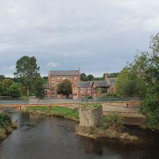
Morpeth Castle is a medieval fortification on a hilltop above the River Wansbeck in Morpeth, Northumberland, England. The stone gatehouse, built in the 1340s, and the surrounding curtain walls are the main surviving elements, and the site is a Grade I listed building and scheduled monument.
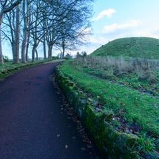
A motte-and-bailey fortification stood on this hill from the 11th century until it was destroyed in 1216. A stone structure replaced it in the 14th century and that is what remains on the site today.
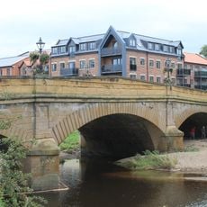
The castle sits on a hill above the River Wansbeck, in a position that once made it a key point on the road between England and Scotland. Visitors today can walk around the outside and see how the gatehouse and walls still shape the edge of the town.
The gatehouse is easy to reach on foot from the town center and is visible from several points along the river. The interior is not open to the public, but walking around the outside and taking in the views over the town and river takes only a short time.
In 1644, a small group of Scottish soldiers held the gatehouse for over 3 weeks against a far larger Royalist force during the English Civil War. The fact that such a small garrison managed to hold out for so long made the siege one of the more surprising episodes of that conflict.
The community of curious travelers
AroundUs brings together thousands of curated places, local tips, and hidden gems, enriched daily by 60,000 contributors worldwide.