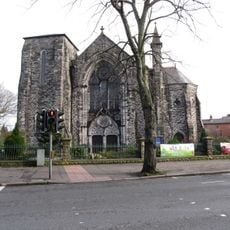
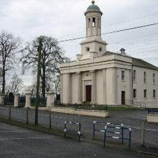
Castlereagh, Former administrative district southeast of Belfast, Northern Ireland
Castlereagh was an administrative district located southeast of Belfast, spanning parts of the historical counties of Down and Antrim. The area included several residential communities such as Carryduff and Dundonald, positioned near the main city.
Castlereagh was established in 1973 during Northern Ireland's local government restructuring and operated as a separate district for more than four decades. In 2015, it merged with the neighboring Lisburn area to form the new Lisburn and Castlereagh City Council.
The O'Neill clan of Ulster shaped the early identity of the region by constructing the Grey Castle, which provided the etymology for the district's name.
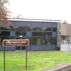
The district was easily accessible from Belfast through main transportation routes and contained employment areas such as the Newtownbreda industrial zone. The residential communities were spread throughout the region but remained well-connected to each other and to the city.
The district functions without a central town hub, instead spreading across residential areas such as Carryduff and Dundonald, located within 6 miles of Belfast.
The community of curious travelers
AroundUs brings together thousands of curated places, local tips, and hidden gems, enriched daily by 60,000 contributors worldwide.