Battersea, District in South London, England
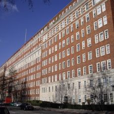
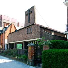
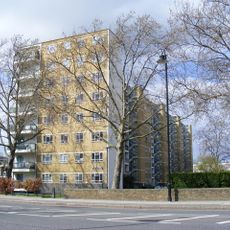
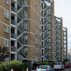
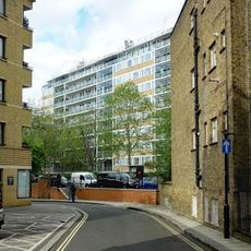
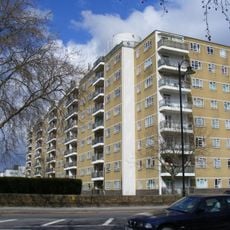
Battersea is a district in South London that runs along the south bank of the Thames for roughly four miles southwest of the city centre. The area contains residential neighborhoods, green spaces, and former factory buildings that have been converted in recent years to new uses.
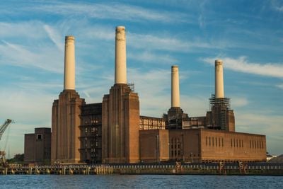
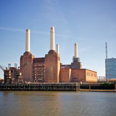
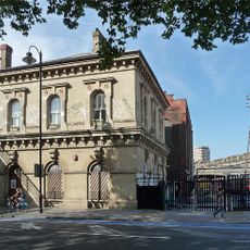
The area evolved from farmland recorded in the 1086 Domesday Book as Patricesy into an industrial hub during the 19th century. In recent decades, many factories closed and their buildings were turned into housing, offices, and cultural venues.
The area takes its name from one of Britain's oldest dog and cat rescue centres, which has been taking in animals since 1860 and still welcomes visitors on a daily basis. Local residents walk regularly along the riverside promenade, while street markets and small shops thread through residential neighborhoods, giving everyday life a neighborly feel.
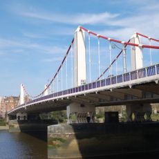
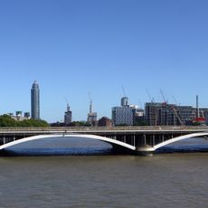
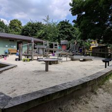
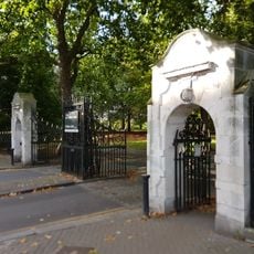
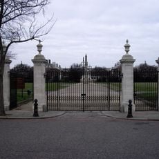
The district can be reached via three railway stations, including Clapham Junction and the Northern Line stop at the power station site. Visitors can walk along the riverside or cross through the large park that stretches between residential streets and the Thames waterfront.
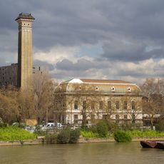
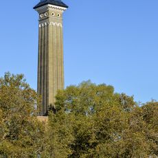
The large park houses a Buddhist peace pagoda erected in 1985, one of only two such structures in England. The monument stands directly on the Thames waterfront and visitors can view it daily free of charge.
Location: London Borough of Wandsworth
Location: Greater London
Location: Metropolitan Police District
Shares border with: Pimlico
GPS coordinates: 51.46377,-0.16771
Latest update: December 4, 2025 19:05
Battersea Power Station
2.5 km
Dolphin Square
3.3 km
Chelsea Bridge
2.6 km
Seax of Beagnoth
2.8 km
Grosvenor Bridge
2.7 km
Marco Polo House
2.3 km
Pimlico District Heating Undertaking
3.1 km
Battersea Park Children's Zoo
2.1 km
24th Division War Memorial
2.1 km
The Mason's Arms
2 km
Pump House Gallery
1.9 km
All Saints
2 km
Rosery Gate To Battersea Park
2.1 km
Single Form (Memorial)
1.8 km
Accumulator Tower And District Heating Workshop
3.1 km
Western Pumping Station
2.8 km
The Helmsman
3.3 km
Carabiniers Memorial
2.7 km
Chimney To Western Pumping Station Behind Number 124 Grosvenor Road
2.8 km
Chelsea Gate To Battersea Park
2.5 km
Shelley House
3.1 km
Entrance Gates On Main Axis From Chelsea Embankment Royal Hospital
2.6 km
Railway Bridge over Battersea Park Road
2 km
Coleridge House
3.2 km
123A, Grosvenor Road Sw1
2.9 km
Gilbert House
3 km
Keats House
3.1 km
K2 Telephone Kiosk Approximately 60 Metres West Of Junction With Claverton Street, Opposite South East Corner Of Hungerford House
3.1 kmReviews
Visited this place? Tap the stars to rate it and share your experience / photos with the community! Try now! You can cancel it anytime.
Discover hidden gems everywhere you go!
From secret cafés to breathtaking viewpoints, skip the crowded tourist spots and find places that match your style. Our app makes it easy with voice search, smart filtering, route optimization, and insider tips from travelers worldwide. Download now for the complete mobile experience.
A unique approach to discovering new places❞
— Le Figaro
All the places worth exploring❞
— France Info
A tailor-made excursion in just a few clicks❞
— 20 Minutes