Twickenham, Residential area in Richmond upon Thames, England
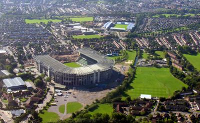
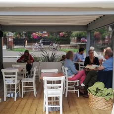
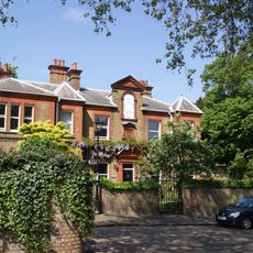
Twickenham is a suburb in southwest London, about 10 miles from the city center, stretching along the Thames riverfront. The area consists of residential streets lined with Victorian and Edwardian houses, riverside parks, and a high street with shops and restaurants.
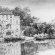
The area was inhabited as early as the Neolithic period and developed into an Anglo-Saxon settlement in the 8th century. During the Middle Ages it belonged to the Manor of Isleworth and later became a retreat for wealthy Londoners who built riverside country houses.
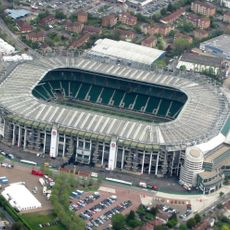
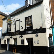
The stadium serves as home to England's rugby union team and draws tens of thousands of spectators on match days who stream through the neighborhood streets. Local pubs and shops around the stadium adjust their rhythm to these events, creating a busy atmosphere during tournaments.
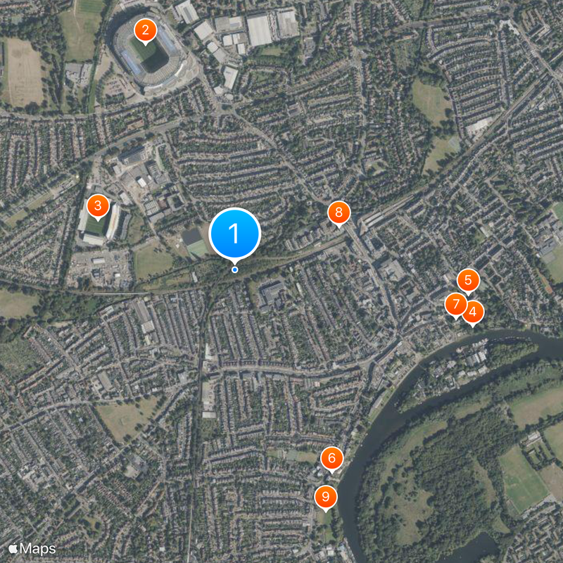
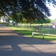
The borough offers a mobile app where residents can check local services, planning applications, and collection schedules. Access to riverside parks is available through several public paths that are reachable on foot from the train station.
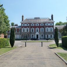
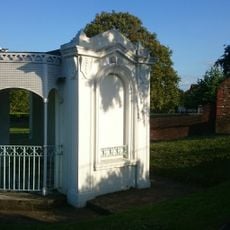
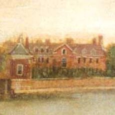
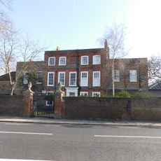
Three grand country houses define the area: York House with Italian gardens, Marble Hill in Palladian style, and Strawberry Hill House in Gothic Revival style. Each of the three estates is now open to visitors and displays different periods of English architectural history.
The community of curious travelers
AroundUs brings together thousands of curated places, local tips, and hidden gems, enriched daily by 60,000 contributors worldwide.