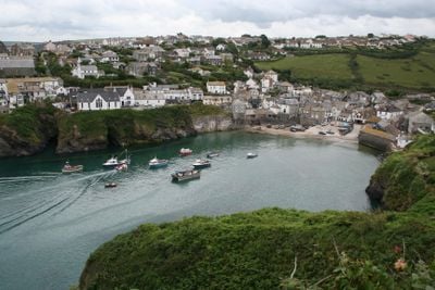
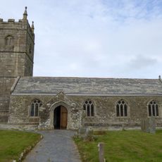
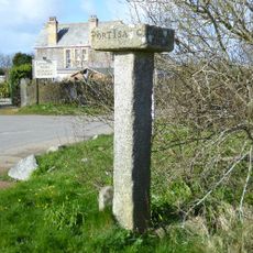
Port Isaac, Fishing village in North Cornwall, England
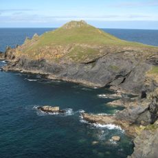
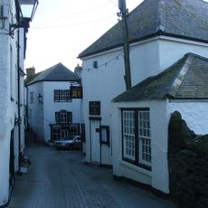
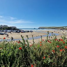
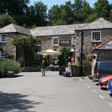
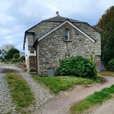
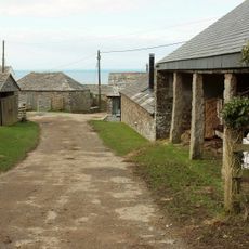
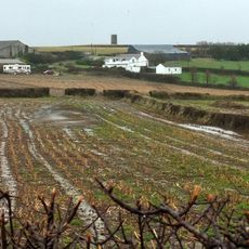
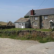
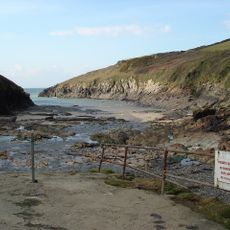
Port Isaac sits on the north coast of Cornwall and surrounds a small sheltered natural harbor where fishing boats rest between stone quays and whitewashed houses. The lanes drop steeply toward the water, lined with low granite and rendered cottages that climb the hillside.
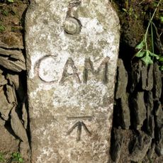
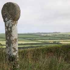
From the 14th century onward, the place served as a harbor for grain, timber, and slate until the expansion of railways in the 19th century shifted trade away. Residents then turned more fully to fishing, which continues to shape life around the harbor today.
The name comes from Cornish Porth Ysek, meaning corn port, a reference to its earlier role in grain trade. The houses stand close along steep lanes, their walls often carrying traces of salt and proximity to the sea.
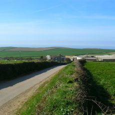
The main car park stands above the village on the clifftop, as the narrow steep lanes leading to the harbor are accessible only on foot. The paths downward run partly over uneven steps and cobblestones, so sturdy footwear is advisable.
In a narrow lane called Temple Bar, also known as Squeezy Belly Alley, visitors must turn sideways to pass through, measuring only about 50 centimeters (20 inches) at its tightest point. Tourists often pause here for photographs while locals regard the passage as routine.
Location: St Endellion
Website: http://portisaac-online.co.uk
GPS coordinates: 50.59350,-4.83120
Latest update: December 12, 2025 20:32
South West Coast Path
117.7 km
The Rumps
6.3 km
Golden Lion Inn
133 m
Polzeath Beach
6.3 km
Church of St Tetha
6.7 km
Church of St Endelienta
2.3 km
Church of St Menefreda
5 km
Church of St James
4.7 km
St Kew Inn
4.7 km
Old Methodist Chapel 15 Metres North East Of Chapel Amble Methodist Church
5.4 km
Tresungers
2 km
Doyden Castle
3 km
The Mouls
5.9 km
Milestone 240M Nw Of Leeches
6.8 km
The Long Cross, an early Christian memorial stone and medieval wayside cross, and a post-medieval guide post 400m north of Treli
1.4 km
Trewornan Bridge
6.7 km
Garden Walls Immediately To South, South East And East Of Tresungers And Flight Of Steps Up To Terrace On East
2 km
Barn With Waterwheel And Attached Row Of Shippons Or Stables To North East Of Tregardock Farmhouse
5.8 km
Milestone 250 Metres To South West Of Polroad Cottages
6.5 km
Chapel Amble Cross in St Kew churchyard
4.7 km
Carlyon Farmhouse And Barn Adjoining On Right
7 km
Job's Cross, medieval wayside cross 500m north east of Trewethern
4.4 km
Milestone 170 Metres To South West Of Lanseague Cottage
6.6 km
Trevelver
7 km
Slip And Retaining Wall On South And East Side Of Beach
2.6 km
Roscarrock
1.2 km
Footbridge At Ford 150 Metres To South Of Barton Farmhouse
4.8 km
Guidestone, Trelights, Longcross crossroads, opp Long Cross Hotel
1.4 kmVisited this place? Tap the stars to rate it and share your experience / photos with the community! Try now! You can cancel it anytime.
Discover hidden gems everywhere you go!
From secret cafés to breathtaking viewpoints, skip the crowded tourist spots and find places that match your style. Our app makes it easy with voice search, smart filtering, route optimization, and insider tips from travelers worldwide. Download now for the complete mobile experience.
A unique approach to discovering new places❞
— Le Figaro
All the places worth exploring❞
— France Info
A tailor-made excursion in just a few clicks❞
— 20 Minutes