Chester, non-metropolitan local government district of Cheshire, England
Location: Cheshire
Inception: April 1, 1974
GPS coordinates: 53.18333,-2.88333
Latest update: March 6, 2025 22:07
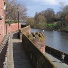
Chester city walls
494 m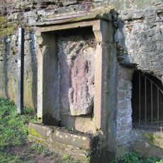
Minerva's Shrine, Chester
412 m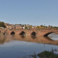
Old Dee Bridge
433 m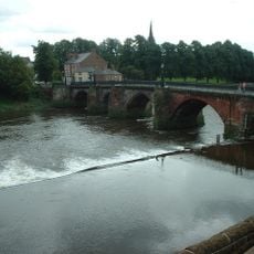
Chester Weir
441 m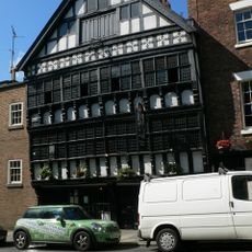
Bear and Billet
533 m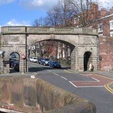
Bridgegate
510 m
Capital House, Chester
367 m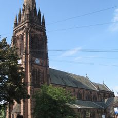
St Mary's Church, Handbridge
374 m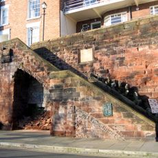
Recorder's Steps
520 m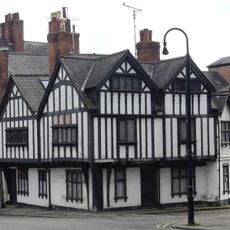
Ye Olde Edgar
557 m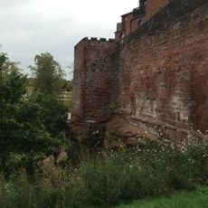
Barnaby's Tower
550 m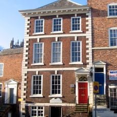
Shipgate House
575 m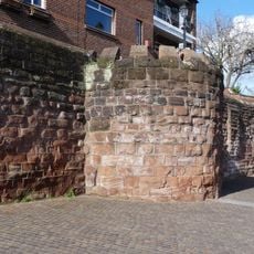
Unnamed drum tower 50 metres east of the Bridgegate
494 m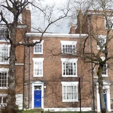
3, Bridge Place
537 m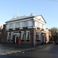
The Carlton Tavern
103 m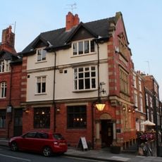
Cross Keys Public House and raised forecourt
548 m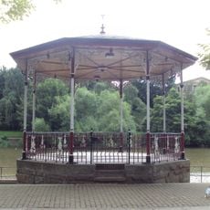
Chester Bandstand
529 m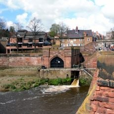
Pumping Station
497 m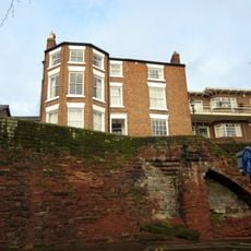
19, City Walls
520 m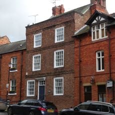
4, Duke Street
551 m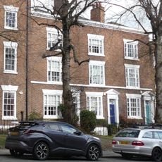
Number 7, 9 and 11 and railings to forecourt
517 m
12 And 13, The Groves
574 m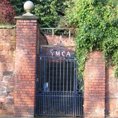
Garden wall to the Old Palace, with gates and overthrow
549 m
1, Bridge Place
543 m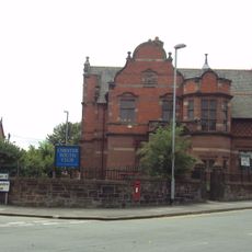
Boys Club
348 m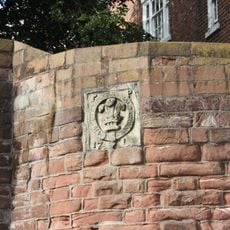
Part of City Walls from Bridgegate to Drum Tower 50 Metres East
502 m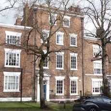
Number 5 and rear dwelling and attached wall
525 m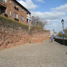
Part Of City Wall From Barnabys Tower To Tower East Of Bridgegate
512 mVisited this place? Tap the stars to rate it and share your experience / photos with the community! Try now! You can cancel it anytime.
Discover hidden gems everywhere you go!
From secret cafés to breathtaking viewpoints, skip the crowded tourist spots and find places that match your style. Our app makes it easy with voice search, smart filtering, route optimization, and insider tips from travelers worldwide. Download now for the complete mobile experience.

A unique approach to discovering new places❞
— Le Figaro
All the places worth exploring❞
— France Info
A tailor-made excursion in just a few clicks❞
— 20 Minutes