Clougha Pike, Mountain summit in Forest of Bowland, England
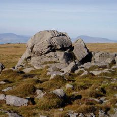
Clougha Pike is a mountain summit in the Forest of Bowland that rises 416 meters above sea level with exposed rock and grass-covered slopes. From the top, you can see across Morecambe Bay and toward the high peaks of the Lake District on clear days.
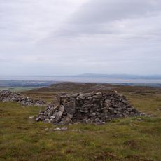
For centuries, this summit served as a navigational landmark for people crossing the Forest of Bowland region. Old walking routes in the area reveal how communities have moved through these hills over generations.
Local mountaineering groups regularly organize guided walks to Clougha Pike, introducing visitors to Lancashire's natural landscapes and outdoor traditions.
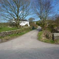
Several starting points with parking nearby let hikers choose their route based on their experience and fitness level. Most walks to the summit take between 2 and 4 hours depending on the path you select.
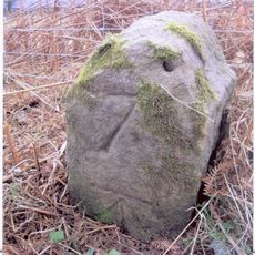
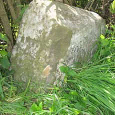
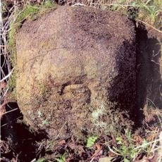
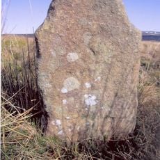
An iron marker post sits 100 meters to the east-southeast of the main survey point, marking the precise summit location. This old survey marker shows how the hill's exact position has been recorded for many decades.
The community of curious travelers
AroundUs brings together thousands of curated places, local tips, and hidden gems, enriched daily by 60,000 contributors worldwide.