Sutton Park, National Nature Reserve in Birmingham, England
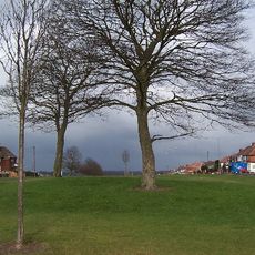
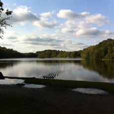
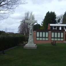
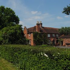
Sutton Park is a large nature reserve on the northern edge of Birmingham that includes woodland areas, open heathland, wetlands, and several lakes. The terrain covers a wide area and provides habitat for native plants and wildlife.
Kings from Mercia hunted here in the 9th century when the area served as a royal forest. Henry VIII transferred the land to the people of Sutton Coldfield in 1528 as a gift.
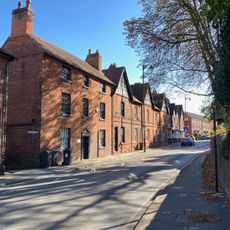
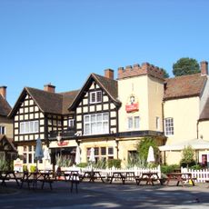
Many families visit on weekends to walk the network of pathways that connect the different sections of the reserve. Locals use the open spaces for jogging, dog walking, and outdoor picnics throughout the year.
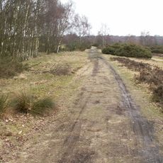
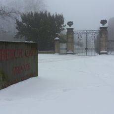
Entrances are located at several points along the boundary of the reserve, allowing visitors to enter from different directions. Paths range from paved routes to natural trails depending on which section you explore.
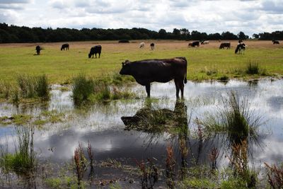
Ponies and cattle move freely across the grounds, grazing on the open areas. These animals help control plant growth and maintain the different habitats within the reserve.
Location: Birmingham
Operator: Birmingham City Council
Shares border with: Boldmere
GPS coordinates: 52.56170,-1.85392
Latest update: December 5, 2025 22:29
Icknield Street
1.9 km
Holy Trinity Church, Sutton Coldfield
2.3 km
Sutton Coldfield Town Hall
2 km
Odeon, Kingstanding
2.3 km
Moat House
2.2 km
King's Standing Bowl Barrow
2 km
All Saints Church
2.9 km
St James' Church
3.6 km
Odeon Cinema, Sutton Coldfield
2 km
Saint Columba's
1.2 km
Church of Saint Peter
2.1 km
Four Oaks Methodist Church
2.6 km
Church House
2.2 km
Park House
1.4 km
Four Oaks War Memorial Outside the Church of All Saints
2.9 km
Sutton Coldfield War Memorial
2.1 km
Medieval deerpark and other archaeological remains in Sutton Park
1.3 km
St Mark's Church, Kingstanding
2.5 km
Streetly War Memorial Cross Outside All Saints' Church
3.1 km
Living Proof church
2.1 km
Sutton Coldfield Library
2.1 km
Post box B73 259D
950 m
Gate Piers With Attached Wall, Railings And Gates At Main Entrance To Little Aston Hall
3.8 km
Doe Bank Farmhouse And Farm Building Attached
2.8 km
14, High Street
2.2 km
Post box B73 326
1.5 km
Saint Peters Vicarage
2 km
Milepost, Chester Road, Streetly, between Bridle Lane & Foley Road jct
3 kmVisited this place? Tap the stars to rate it and share your experience / photos with the community! Try now! You can cancel it anytime.
Discover hidden gems everywhere you go!
From secret cafés to breathtaking viewpoints, skip the crowded tourist spots and find places that match your style. Our app makes it easy with voice search, smart filtering, route optimization, and insider tips from travelers worldwide. Download now for the complete mobile experience.
A unique approach to discovering new places❞
— Le Figaro
All the places worth exploring❞
— France Info
A tailor-made excursion in just a few clicks❞
— 20 Minutes