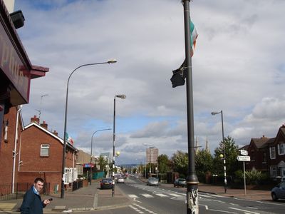
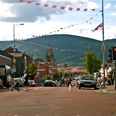
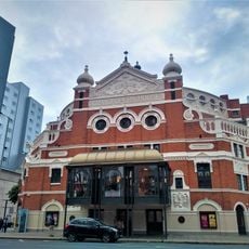
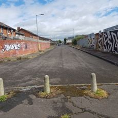
Falls Road, Main road in West Belfast, Northern Ireland.
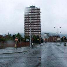
Falls Road is a main thoroughfare in west Belfast, Northern Ireland, stretching three kilometers from Divis Street to Andersonstown. The road runs through residential areas with low terraced houses, small shops, schools, and some healthcare facilities that shape daily life for the local community.
The name comes from the Irish túath na bhFál and originally referred to a country lane that became an industrial area during the 19th century with the rise of linen mills. During the Troubles between the 1960s and 1990s, the street witnessed violent clashes and became a symbol of the Northern Ireland conflict.
Murals along building walls display political messages and solidarity with international movements, reflecting the Catholic and republican heritage of this neighborhood. Many of these paintings line the street and attract visitors who want to understand the local memory and identity of the residents.
The street is accessible on foot or by public transport and offers sidewalks along residential sections in some areas. Visitors wanting to see the murals should walk slowly through the neighborhood and allow enough time to look at individual paintings.
High concrete barriers known as peace walls separate this area from neighboring districts and stand as physical traces of division during decades of unrest. Some of these walls are covered with colorful graffiti and messages left by visitors.
The community of curious travelers
AroundUs brings together thousands of curated places, local tips, and hidden gems, enriched daily by 60,000 contributors worldwide.