Enable Location

We need your location to show you interesting places around you

Discover nearby places

Find interesting locations and hidden gems around you

Precise directions

Get accurate directions and distances to places

Your location is never shared with other users. It's only used when you tap the location button.

Isle of Sheppey

Log in to your account

Start exploring — it's free

Trusted by 62,935 travelers worldwide

Continue with Google
Continue with Apple
or

We will send you a code to connect

By continuing, you accept our Terms and Conditions and our Privacy Policy

Check your inbox

We've sent a pincode in your inbox. Please enter the code below.

Isle of Sheppey
Discussion Reviews 5 Photos
95.8k Popularity

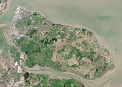
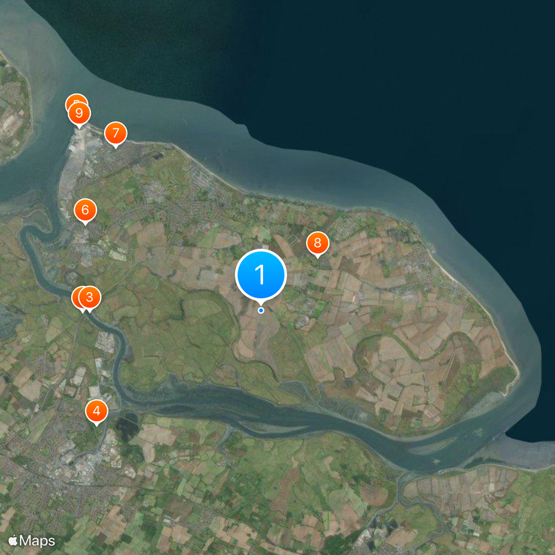
Isle of Sheppey, Island in Thames Estuary, England

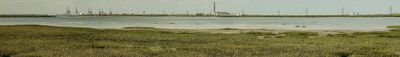
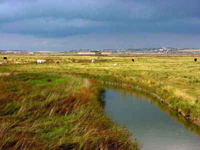
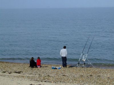
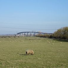
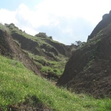
The Isle of Sheppey is an island off the northern coast of Kent, separated from the mainland by the Swale and Medway tidal channels and bordered to the north by the Thames Estuary. The landscape alternates between flat saltmarshes in the south, grazing fields inland, and gently elevated hills in the north where the ground slopes down to the shore.

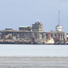
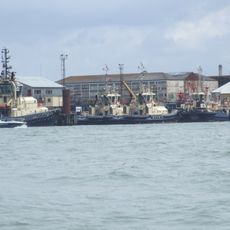
The island experienced the first major Viking attack on Southern England in 835, when warriors in longboats raided monasteries and settlements. In the 19th century, Sheerness grew as a naval base and became the gateway to the island, while in World War II airfields and defensive installations shaped the terrain.

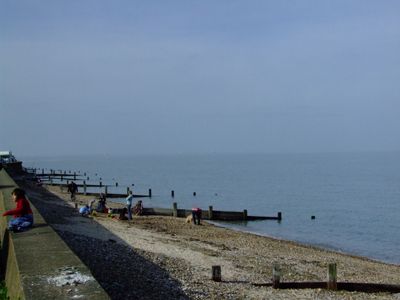
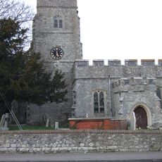
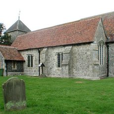
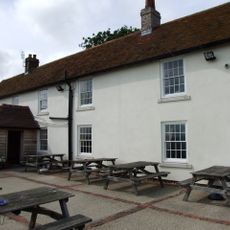
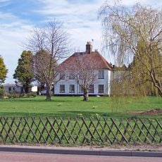
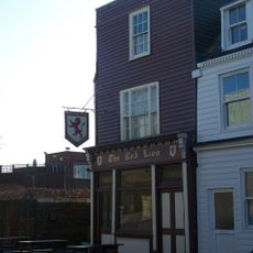
The name Sheppey comes from Old English and means "sheep island", a reminder of the centuries of sheep farming along the coastal pastures. Small villages like Minster and Leysdown shape the character of the place today, while Sheerness as a port town still moves to the rhythm of ferries and cargo vessels.

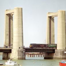
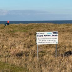
The island connects to the mainland via the A249 motorway and the B2231 road, with access provided by a high bridge near Queenborough. Coastal paths and villages are easy to explore on foot or by bicycle, and at low tide wide mudflats and birdlife along the northern shore come into view.

A small population of the yellow-tailed scorpion, otherwise found only in the Mediterranean region, has lived in the harbour walls of Sheerness since the mid-19th century. The animals likely arrived with cargo from Italy or southern France and survived here at their northernmost location in the world.

The community of curious travelers

AroundUs brings together thousands of curated places, local tips, and hidden gems, enriched daily by 60,000 contributors worldwide.

Start exploring
Location
Capital city
Sheerness
GPS coordinates
51.39083,0.83083
Latest update
December 12, 2025 23:43
Reviews
Share your experience

No review yet

Discussions
Start a discussion...

No discussion yet

« Isle of Sheppey - Island in Thames Estuary, England » is provided by Around Us (aroundus.com). Images and texts are derived from Wikimedia project under a Creative Commons license. You are allowed to copy, distribute, and modify copies of this page, under the conditions set by the license, as long as this note is clearly visible.

Discover hidden gems everywhere you go!

From secret cafés to breathtaking viewpoints, skip the crowded tourist spots and find places that match your style. Our app makes it easy with voice search, smart filtering, route optimization, and insider tips from travelers worldwide. Download now for the complete mobile experience.

Around Us App Screenshot

A unique approach to discovering new places

Le Figaro

All the places worth exploring

France Info

A tailor-made excursion in just a few clicks

20 Minutes

Around Us
Travel Guide & Maps
Download

Send to your phone

QR Code
1

Open the camera app on your mobile.

2

Point at the QR code with your camera. A notification will appear.

3

Tap the notification to open the link.