·

Enable Location

We need your location to show you interesting places around you

Discover nearby places

Find interesting locations and hidden gems around you

Precise directions

Get accurate directions and distances to places

Your location is never shared with other users. It's only used when you tap the location button.

Romney Marsh

Log in to your account

Start exploring — it's free

Trusted by 62,647 travelers worldwide

Continue with Google
Continue with Apple
or

We will send you a code to connect

By continuing, you accept our Terms and Conditions and our Privacy Policy

Check your inbox

We've sent a pincode in your inbox. Please enter the code below.

Romney Marsh

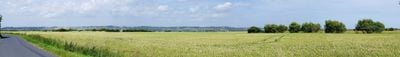
Romney Marsh, Wetland and plain in Kent and East Sussex, England

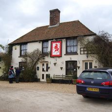
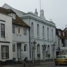
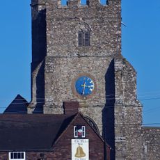
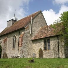
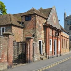
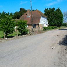
Romney Marsh is a low-lying wetland stretching between Kent and East Sussex, composed of open grasslands, drainage channels, and reed beds across a wide area. The landscape appears expansive and flat, with scattered villages and farmsteads tucked among the fields.

This wetland took shape through medieval efforts to manage water and transform marshy ground into usable land, with major drainage systems built starting in the 13th century. The ongoing management of channels and barriers reveals centuries of human adaptation to this challenging landscape.

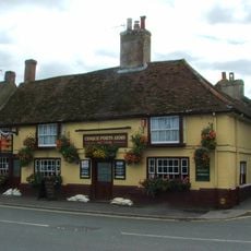
The region has long been defined by sheep farming, with the Romney Marsh breed becoming inseparable from local life and identity. Visitors can observe these animals grazing and sense how deeply this practice has shaped the community over generations.

The area can be explored by car on narrow country roads linking villages, or by bicycle using National Cycle Route 2 for easier navigation across the flat terrain. Walking is equally rewarding, as the low-lying landscape makes foot travel straightforward and pleasant.

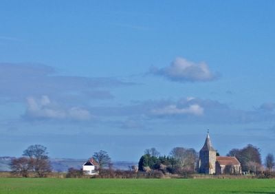
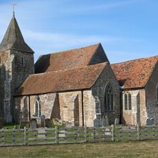
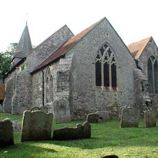
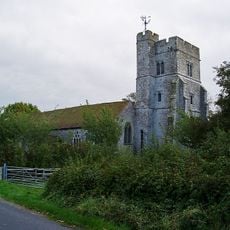
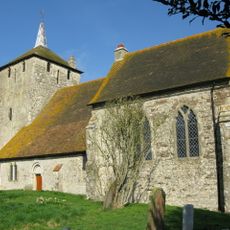
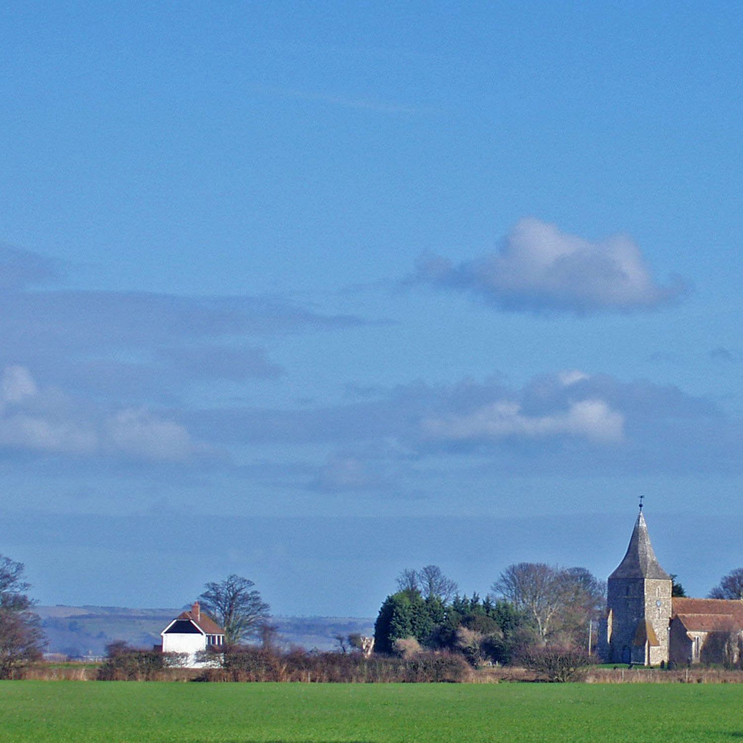
St Thomas Becket church in Fairfield sits alone in the middle of sheep pastures, a striking sight of a medieval building appearing nearly untouched by time or development. This unusual isolation resulted from shifts in settlement patterns over centuries, leaving the church as a solitary landmark.

The community of curious travelers

AroundUs brings together thousands of curated places, local tips, and hidden gems, enriched daily by 60,000 contributors worldwide.

Start exploring
Location
Location
Address
Dennes Ln, Lydd, Romney Marsh TN29 9PU, UK
GPS coordinates
51.02300,0.91500
Latest update
February 12, 2026 12:46
Filming locations and real historical sites of the series King & Conqueror

The scenes of Kings and Conqueror in Iceland are near the historic sites of the Norman conquest in England and Normandy.

« Romney Marsh - Wetland and plain in Kent and East Sussex, England » is provided by Around Us (aroundus.com). Images and texts are derived from Wikimedia project under a Creative Commons license. You are allowed to copy, distribute, and modify copies of this page, under the conditions set by the license, as long as this note is clearly visible.

Discover hidden gems everywhere you go!

From secret cafés to breathtaking viewpoints, skip the crowded tourist spots and find places that match your style. Our app makes it easy with voice search, smart filtering, route optimization, and insider tips from travelers worldwide. Download now for the complete mobile experience.

Around Us App Screenshot

A unique approach to discovering new places

Le Figaro

All the places worth exploring

France Info

A tailor-made excursion in just a few clicks

20 Minutes

Around Us
Travel Guide & Maps
Download

Send to your phone

QR Code
1

Open the camera app on your mobile.

2

Point at the QR code with your camera. A notification will appear.

3

Tap the notification to open the link.