
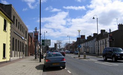
Dungiven, town, townland and civil parish in County Londonderry, Northern Ireland
Location: Northern Ireland
Elevation above the sea: 75 m
GPS coordinates: 54.92800,-6.92500
Latest update: April 11, 2025 18:32
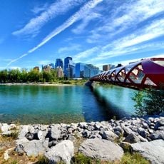
Peace Bridge
26 km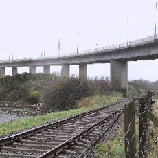
Foyle Bridge
25.5 km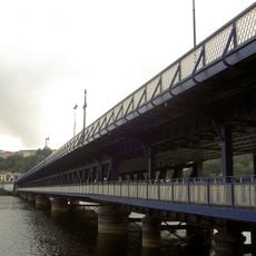
Craigavon Bridge
26.1 km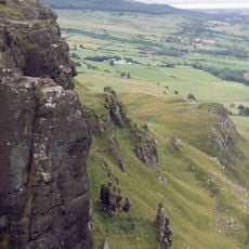
Binevenagh
20.7 km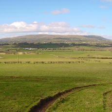
Slieve Gallion
24.2 km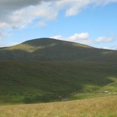
Sawel Mountain
14.1 km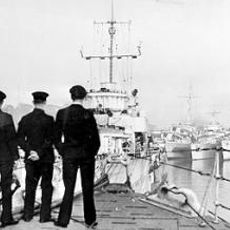
HMS Ferret
25.9 km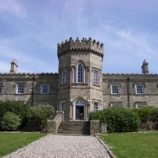
Dungiven Castle
439 m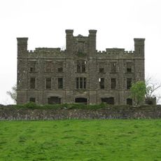
Altinaghree Castle
21.2 km
Foyle Valley Railway
26.3 km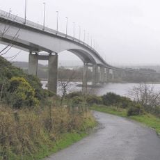
Boom Hall
26 km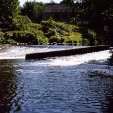
Roe Valley Country Park
10.8 km
Aughlish
8.2 km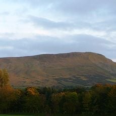
Benbradagh
3.7 km
Roe Valley Arts & Cultural Centre
13.9 km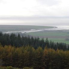
Roe Estuary Nature Reserve
20.3 km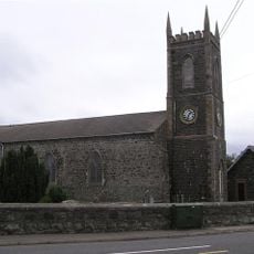
Macosquin Abbey
23.2 km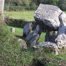
Tirnony Dolmen
17 km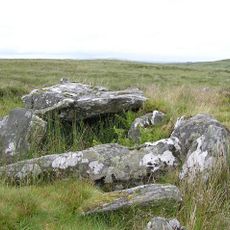
Clogherny Meenerrigal
25.1 km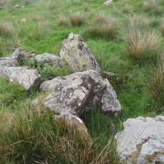
Court Tomb von Ervey
17.6 km
Passage Tomb von Moneydig
21.2 km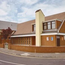
Limavady Baptist Church
13.5 km
Straidarran House Clagan Road Claudy Co Londonderry Bt47 4db
11.3 km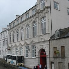
The Playhouse, Derry
26.4 km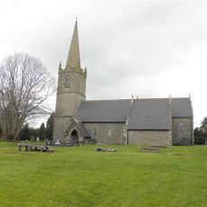
St. Columba's Church Draperstown Magherafelt Co.londonderry
17.4 km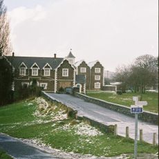
Roe Valley Hospital (former Workhouse) Benevenagh Avenue Limavady Co Londonderry Bt49 Oaq
13.3 km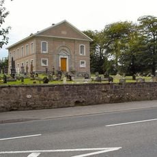
Ballykelly Presbyterian Church Main Street Ballykelly Limavady Co Londonderry Bt49 9hs
14.1 km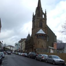
Methodist Church
26.3 kmReviews
Visited this place? Tap the stars to rate it and share your experience / photos with the community! Try now! You can cancel it anytime.
Discover hidden gems everywhere you go!
From secret cafés to breathtaking viewpoints, skip the crowded tourist spots and find places that match your style. Our app makes it easy with voice search, smart filtering, route optimization, and insider tips from travelers worldwide. Download now for the complete mobile experience.

A unique approach to discovering new places❞
— Le Figaro
All the places worth exploring❞
— France Info
A tailor-made excursion in just a few clicks❞
— 20 Minutes