South Northamptonshire, Administrative district in Northamptonshire, England.
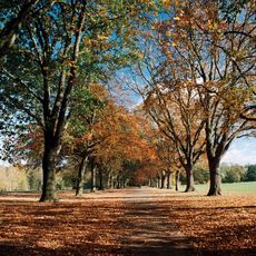
South Northamptonshire is an administrative district in Northamptonshire that spreads across rolling countryside with gentle hills and clay uplands. The area contains several market towns and farming communities, with Towcester and Brackley serving as the main urban centers.
This district was created in 1974 from earlier administrative divisions and developed along the ancient Watling Street, now the A5 road. The Roman route shaped settlement patterns and remains a significant transport corridor through the region.
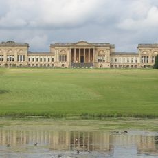
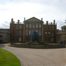
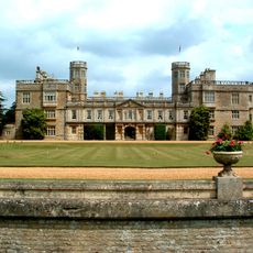
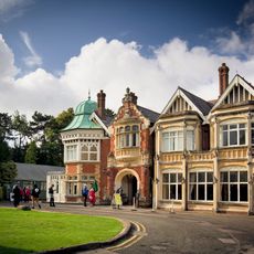
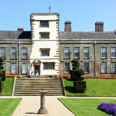
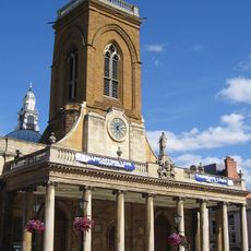
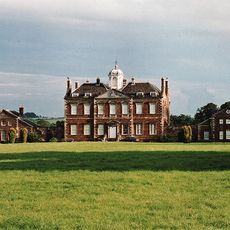
The area displays typical English village character with stone buildings, thatched cottages, and parish churches scattered across the landscape. Easton Neston House stands out as a fine example of Baroque architecture and draws visitors interested in 18th-century design.
The area is easy to explore by car, as main roads connect the towns and villages throughout the district. Those interested in walking or cycling will find gentle terrain and country lanes suitable for outdoor activities.
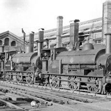
The Grand Union Canal runs through the district, with a museum near Towcester showcasing the story of canal transport across two centuries. This waterway once served as a vital trade route and shaped life in the communities it connected.
The community of curious travelers
AroundUs brings together thousands of curated places, local tips, and hidden gems, enriched daily by 60,000 contributors worldwide.