
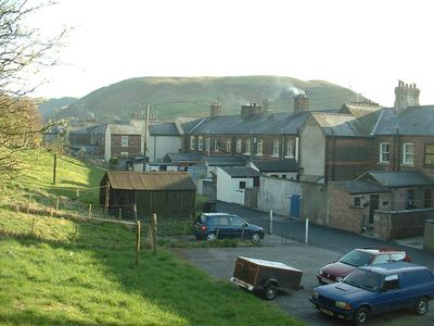
Tebay, village and civil parish in Cumbria, UK
Castle Folds Romano-British defended stone hut circle settlement and medieval shieling
5.8 km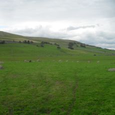
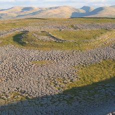
Gamelands stone circle
4.3 km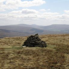
Yarlside
8.9 km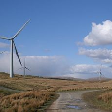
Lambrigg Fell
10.8 km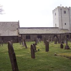
All Saints Church, Orton
4 km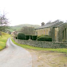
Holy Trinity Church, Howgill
9.5 km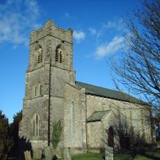
Church of St John
8.3 km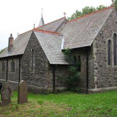
Church of St James
222 m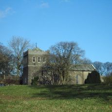
Church of St Thomas
9.8 km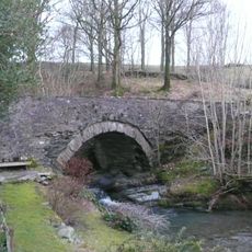
Banty Gill Bridge
9.6 km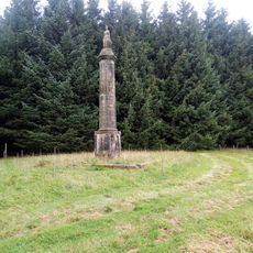
Britannia Monument And Enclosure Walls To North Of Shap Wells Hotel (At Ngr Ny 579 098)
6.6 km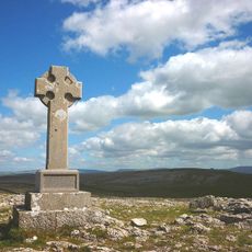
Beacon Monument
5.8 km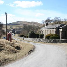
K6 telephone kiosk approximately 20 metres south east of Holy Trinity churchyard
9.6 km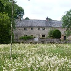
Petty Hall
3.7 km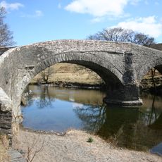
Crook of Lune Bridge
8.1 km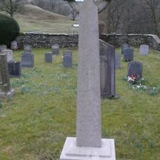
Howgill War Memorial
9.5 km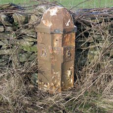
Milepost To West Of North Gateside
10.2 km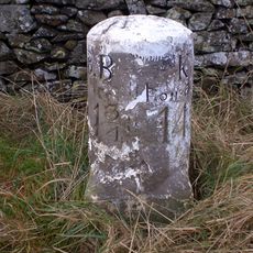
Milestone Approximately 40M From A685
5.6 km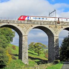
Docker Viaduct
10.2 km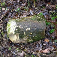
Milestone At Sd 624 947
9.7 km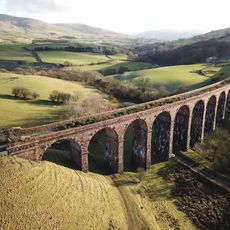
Lowgill Viaduct
8 km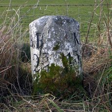
Milestone At Sd 616 974
7 km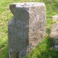
Milestone On East Side Of Lane Approximately 30 Metres South Of Fairmile Beck
6.8 km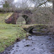
Lowgill Packhorse Bridge
8 km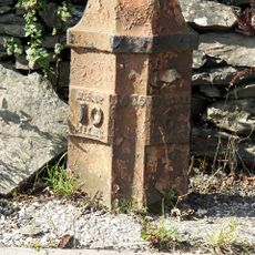
Milepost Opposite Memorial Hall
8.7 km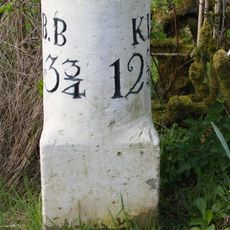
Milestone At Sd 617 961
8.3 km
Marker Stone On East Side Of Old Turnpike Road To South Of Shap (At Ngr 553 069)
6.9 km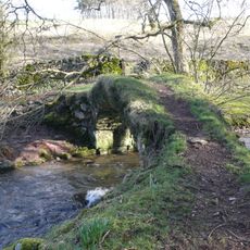
Gaisgill packhorse bridge
2.8 kmVisited this place? Tap the stars to rate it and share your experience / photos with the community! Try now! You can cancel it anytime.
Discover hidden gems everywhere you go!
From secret cafés to breathtaking viewpoints, skip the crowded tourist spots and find places that match your style. Our app makes it easy with voice search, smart filtering, route optimization, and insider tips from travelers worldwide. Download now for the complete mobile experience.

A unique approach to discovering new places❞
— Le Figaro
All the places worth exploring❞
— France Info
A tailor-made excursion in just a few clicks❞
— 20 Minutes