Castle Folds Romano-British defended stone hut circle settlement and medieval shieling
Castle Folds Romano-British defended stone hut circle settlement and medieval shieling, Archaeological site in Asby, England.
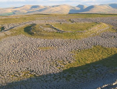
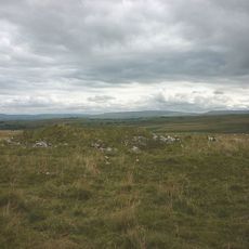
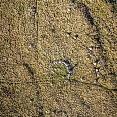
Castle Folds is a Romano-British settlement with stone hut circles and thick defensive walls built on a limestone pavement ridge. The site contains approximately twelve individual huts arranged within an enclosed area protected by substantial stone fortifications.
The settlement was built during the Romano-British period as a fortified dwelling place and later reused during the medieval period by shepherds for seasonal occupation. It received protected monument status in 1938 as part of England's historical heritage.
The settlement demonstrates how Romano-British communities constructed fortified living spaces using orthostats and rubble material for protection against invasions.
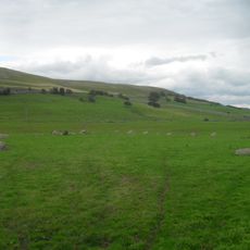
The site sits on exposed high ground and is accessible year-round, though it offers little shelter from wind and weather. Sturdy footwear is recommended as the terrain is uneven with rocky outcrops throughout the settlement area.
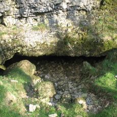
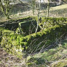
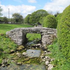
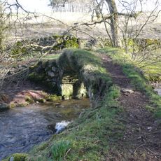
A medieval shepherd's shelter sits near the southern wall, built centuries after the original Romano-British settlement was abandoned. This small structure reveals how the ancient site continued to serve practical purposes for later occupants.
Location: Asby
GPS coordinates: 54.47827,-2.54167
Latest update: December 13, 2025 12:23
Settle to Carlisle Line
7 km
Crosby Garrett Helmet
7.9 km
Flass
6.7 km
Gamelands stone circle
1.5 km
All Saints Church, Orton
2.9 km
St Andrew's Church, Crosby Garrett
8 km
St Lawrence's Church, Crosby Ravensworth
6.2 km
Pate Hole
4 km
Smardale Gill Viaduct
8.1 km
Church of St Peter
4.9 km
Church of St James
6 km
Well To East Of Grange Hall
3.9 km
Smardale Bridge
7.8 km
Britannia Monument And Enclosure Walls To North Of Shap Wells Hotel (At Ngr Ny 579 098)
7.1 km
Beacon Monument
1.6 km
Gaythorne Hall
3.9 km
Petty Hall
3 km
The Old Rectory
8 km
Barn To North East Of Old Rectory
8 km
Crosby Garrett Viaduct at NT 727 093
7.7 km
Footbridge Over Dale Beck West Of Roadbridge
4.6 km
Hollin Stump round cairn
2.3 km
Footbridge Over Dalesbank Beck To South Of Church
6.2 km
Oddendale concentric stone circle
6.8 km
Gaisgill packhorse bridge
3.1 km
Drybeck Hall And Attached Buildings
6.3 km
Crosby Ravensworth stone cross
6.2 km
Grange Hall And Adjoining Buildings
3.8 kmVisited this place? Tap the stars to rate it and share your experience / photos with the community! Try now! You can cancel it anytime.
Discover hidden gems everywhere you go!
From secret cafés to breathtaking viewpoints, skip the crowded tourist spots and find places that match your style. Our app makes it easy with voice search, smart filtering, route optimization, and insider tips from travelers worldwide. Download now for the complete mobile experience.
A unique approach to discovering new places❞
— Le Figaro
All the places worth exploring❞
— France Info
A tailor-made excursion in just a few clicks❞
— 20 Minutes