Romford, Market town in East London, England
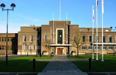
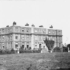
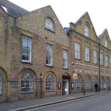
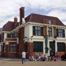
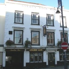
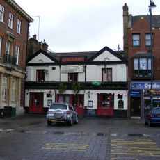
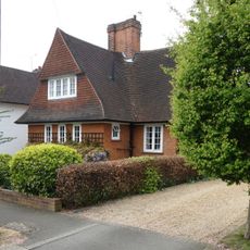
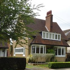
Romford is a market town in East London within the Borough of Havering, located a few miles from the city center. The town stretches along a main thoroughfare with a central market square, shopping centers, and a mix of older buildings alongside modern retail spaces.
King Henry III granted market rights in 1247, turning the settlement into an important trading center for the surrounding area. Over the following centuries, the original village grew into a busy market town that hosted livestock trade well into the 20th century.
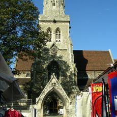
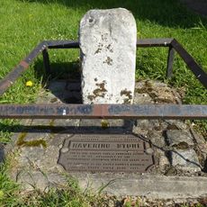
The name comes from the ford across the River Rom, which once marked a crossing point for travelers heading between Essex and the capital. Today, residents from across the borough gather in the shopping streets, cafés, and around the central market square, which functions as a social hub for the community.
The market operates on Wednesdays, Fridays, and Saturdays, offering food, clothing, and household goods across more than 150 stalls. Visitors can reach the town center easily by Underground or rail, and the streets around the market square are pedestrian-friendly.
Livestock auctions were held here until 1958, when farmers from the region brought animals to sell. Today, only the wide market area recalls the time when sheep and cattle filled the square.
The community of curious travelers
AroundUs brings together thousands of curated places, local tips, and hidden gems, enriched daily by 60,000 contributors worldwide.