Chest opened
+${chestReward.xp} XP
Explorer
NOUVEAU ×${chestReward.collectible.quantity}
tapez pour fermer
Chest locked

Open chests in the app

Around Us is built for your phone — chests unlock when you walk, explore and capture nearby places.

Enable Location

We need your location to show you interesting places around you

Discover nearby places

Find interesting locations and hidden gems around you

Precise directions

Get accurate directions and distances to places

Your location is never shared with other users. It's only used when you tap the location button.

Greater Manchester Urban Area

Log in to your account

Start exploring — it's free

Trusted by 73,053 travelers worldwide

Continue with Google
Continue with Apple
or

We will send you a code to connect

By continuing, you accept our Terms and Conditions and our Privacy Policy

Check your inbox

We've sent a pincode in your inbox. Please enter the code below.

Greater Manchester Urban Area
Discussion Reviews 2 Photos
46.5k Popularity

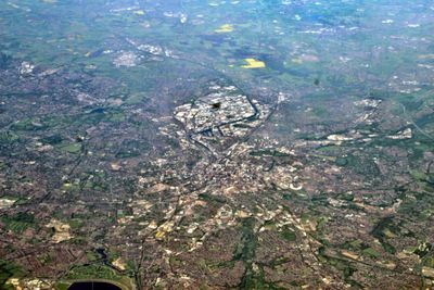
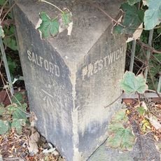
Greater Manchester Urban Area, Urban area in North West England.

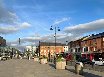
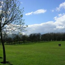
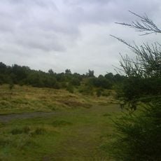
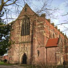
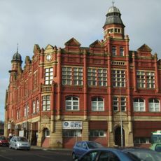
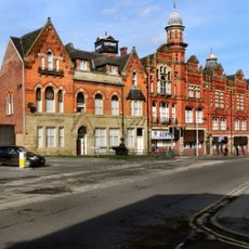
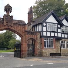
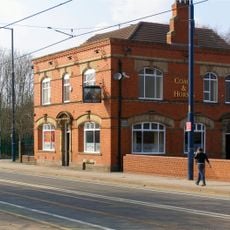
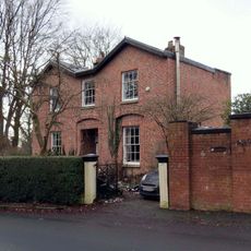
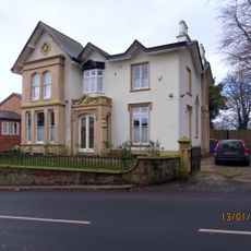
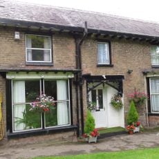
Greater Manchester is an urban area in North West England comprising ten boroughs connected by roads and transport networks. The settlements spread across rolling landscape with a mix of older industrial quarters and newer neighborhoods showing varied architecture and uses.

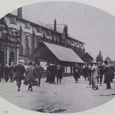
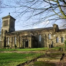
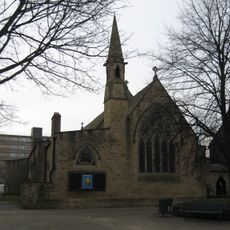
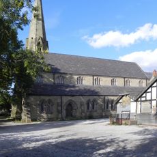
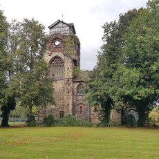
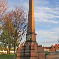
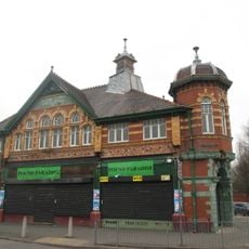
The area was largely rural until the 1700s and 1800s when textile manufacturing transformed it into a global industrial center. This economic shift shaped the buildings, infrastructure, and layout of all the towns and cities within it.

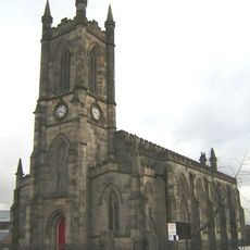
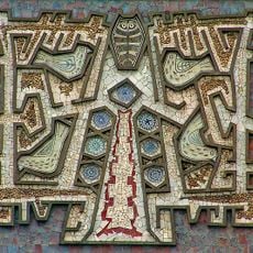
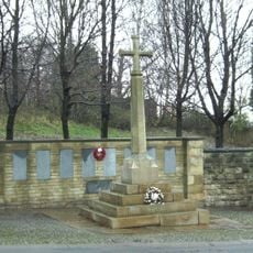
The region hosts museums, theaters, and music venues that celebrate its textile heritage and artistic traditions. Visitors can see how these cultural spaces remain central to daily life and continue to attract people from across the area.

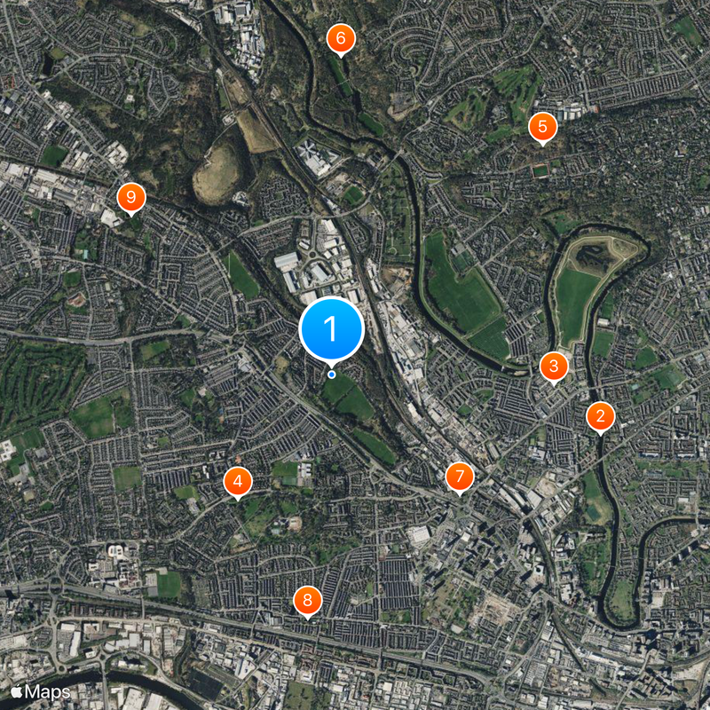
Buses, trams, and trains run throughout the region and are the easiest way to get around between different boroughs. The M60 motorway connects major areas, but public transport is usually more convenient for walking and exploring neighborhoods.

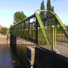
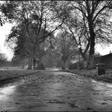
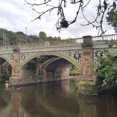
Multiple rivers including the Irwell and Mersey flow through the area and continue to influence how each city is laid out and connected. These waterways were originally crucial for factories and settlements to develop in specific locations.

The community of curious travelers

AroundUs brings together thousands of curated places, local tips, and hidden gems, enriched daily by 60,000 contributors worldwide.

Start exploring
GPS coordinates
53.50000,-2.30000
Latest update
December 14, 2025 19:51
Around this place
Broughton Suspension Bridge
United Kingdom

Broughton Suspension Bridge

2 km
Manchester Racecourse
United Kingdom

Manchester Racecourse

1.6 km
Buile Hill Park
United Kingdom

Buile Hill Park

1.1 km
Kersal Moor
United Kingdom

Kersal Moor

2.3 km
United Kingdom

Drinkwater Park

2.4 km
St Thomas' Church, Pendleton
United Kingdom

St Thomas' Church, Pendleton

1.3 km
St Luke's Church, Salford
United Kingdom

St Luke's Church, Salford

1.8 km
St. Augustine's Church, Pendlebury
United Kingdom

St. Augustine's Church, Pendlebury

1.9 km
Victoria Park
United Kingdom

Victoria Park

2.1 km
The Tree of Knowledge
United Kingdom

The Tree of Knowledge

1.6 km
Pendleton Co-operative Industrial Society Buildings
United Kingdom

Pendleton Co-operative Industrial Society Buildings

1.3 km
Church of St John the Evangelist
United Kingdom

Church of St John the Evangelist

763 m
St Paul's Church
United Kingdom

St Paul's Church

1.7 km
Church of St James
United Kingdom

Church of St James

1.8 km
Maypole Public House
United Kingdom

Maypole Public House

1.3 km
Former Chapel Adjacent To Main Entrance At Salford Northern Cemetry
United Kingdom

Former Chapel Adjacent To Main Entrance At Salford Northern Cemetry

1.2 km
Gateway, Lodge And Adjoining Office At Salford Northern Cemetery
United Kingdom

Gateway, Lodge And Adjoining Office At Salford Northern Cemetery

1.2 km
Coach & Horses Public House, 350 Eccles New Road, Salford
United Kingdom

Coach & Horses Public House, 350 Eccles New Road, Salford

2 km
Three Totem Sculptures In Front Courtyard Of The Allerton Building On Salford University Campus
United Kingdom

Three Totem Sculptures In Front Courtyard Of The Allerton Building On Salford University Campus

1.9 km
Boundary stone at SD8090601825 at the junction with Singleton Brook
United Kingdom

Boundary stone at SD8090601825 at the junction with Singleton Brook

1.6 km
437, Lower Broughton Road
United Kingdom

437, Lower Broughton Road

2.3 km
Thirlmere Aqueduct Over The River Irwell
United Kingdom

Thirlmere Aqueduct Over The River Irwell

1.7 km
Monument To Oliver Heywood
United Kingdom

Monument To Oliver Heywood

2.2 km
Scarr Wheel House
United Kingdom

Scarr Wheel House

2.2 km
388 And 390, Lower Broughton Road
United Kingdom

388 And 390, Lower Broughton Road

2.2 km
Kersal Cell
United Kingdom

Kersal Cell

1.4 km
Andrew Knowles and Sons Collieries War Memorial
United Kingdom

Andrew Knowles and Sons Collieries War Memorial

1.3 km
1, Littleton Road, Salford
United Kingdom

1, Littleton Road, Salford

1.5 km
Show the full map
Reviews
Share your experience

No review yet

Discussions
Start a discussion...

No discussion yet

« Greater Manchester Urban Area - Urban area in North West England » is provided by Around Us (aroundus.com). Images and texts are derived from Wikimedia project under a Creative Commons license. You are allowed to copy, distribute, and modify copies of this page, under the conditions set by the license, as long as this note is clearly visible.

Discover hidden gems everywhere you go!

From secret cafés to breathtaking viewpoints, skip the crowded tourist spots and find places that match your style. Our app makes it easy with voice search, smart filtering, route optimization, and insider tips from travelers worldwide. Download now for the complete mobile experience.

Around Us App Screenshot

A unique approach to discovering new places

Le Figaro

All the places worth exploring

France Info

A tailor-made excursion in just a few clicks

20 Minutes

Around Us
Travel Guide & Maps
Download

Send to your phone

QR Code
1

Open the camera app on your mobile.

2

Point at the QR code with your camera. A notification will appear.

3

Tap the notification to open the link.